Kalispell Island Group Site and other Campgrounds
Coolin, Idaho · 2,605 ft
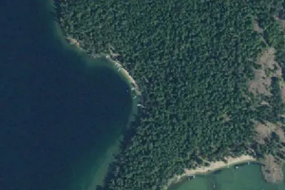
Aerial view · USGS / USDA NAIP · Public domain · source
Wildfire 11 mi E: Silver, 2,593 acres, 30% contained
At a glance
3 of 8 facts known · Forest Service data, checked Oct 3, 2026
- Elevation
- 2,605 ft (794 m)2,605 ft794 m
Amenities
You could be the first camper hereYou could be the first camper on this page
Stayed here? Share what the next camper should know.
Free account · no email needed to browse
About
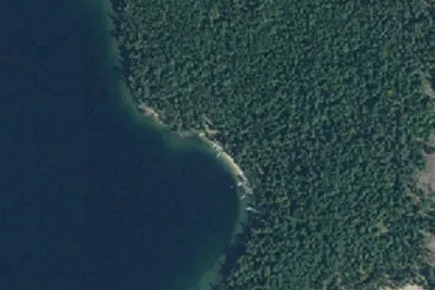
Kalispell Island Group Site is located on the southeast side of Kalispell Island on Priest Lake. The rustic campsite is part of the Three Pines camping area at site #29. The island, reached only by boat, faces the beautiful Selkirk Mountains.Other Camping:West Shores - 7 camp units, west side of island (vault toilet).Peninsula - 2 camp units, southwest side of island (portable toilet required).Schneider - 5 camp units, south west end of island (vault toilet).Silver - 8 camp units, south end of island (vault toilet).Silver Cove - 3 camp units, south end of island (vault toilet).Selkirk - 2 camp units, south east side of island (portable toilet required).Three Pines - 7 camp units, south east side of island (vault toilet).Cottonwood - 1 camp units, east (middle) of island (portable toilet required).Rocky Point - 9 camp units, northeast end of island (vault toilet).North Cove - 5 camp units, northeast end of island (vault toilet).Shady - 1 camp unit, north end of island (portable toilet required).Kalispell Vista - 2 camp units, west side of island (portable toilet required).A popular activity among visitors is to kayak, canoe, or power boat up a 3.5-mile thoroughfare, which leads to the Upper Priest Lake Scenic Area. The upper lake - just like Kalispell Island - cannot be accessed by car, so water is an excellent navigation option.Natural Features: Kalispell Island is one of seven islands scattered throughout Priest Lake. Kalispell is the largest of these islands, spanning 264 acres, and is shaped like a tooth.Priest Lake, at a 2,400 foot elevation, is one of the top three largest lakes in Idaho. To the north, the lake connects to the Upper Priest Lake, divided by a narrow channel, which can be passed through by boat.Recreation: Priest Lake is less than an hour from the Canadian Border, nestled deep below the crest of the Selkirk Mountains. Surrounded by the natural beauty of north Idaho and the mile-high mountains, this 25,000-acre lake offers clear, blue waters reach
Fees: Overnight Use:
From USDA Forest Service — Recreation Opportunities and USFS INFRA Recreation Sites · · Edit
Cell service
Report signal- Verizon4G LTE
- AT&T4G LTE
- T-MobileNo coverage on FCC map
Cell service at Kalispell Island Group Site and other Campgrounds: FCC map Dec 2025
Weather
National Weather Service
- TueSunny, 2% chance of rain55°35°
- WedAreas Of Fog then Mostly Sunny, 4% chance of rain59°37°
- ThuSunny63°39°
- FriSunny66°42°
- SatSlight Chance Rain Showers, 15% chance of rain61°36°
Nearby camping
SeeSee all on the map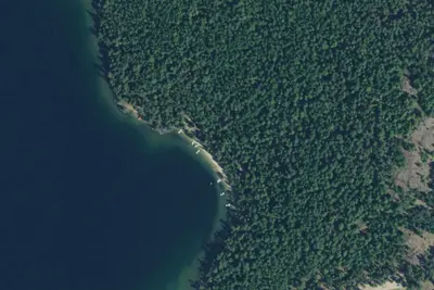
Kalispell Island-004
Public Land · 0.2 mi · Coolin
Kalispell Island-003
Public Land · 0.2 mi · Coolin
West Shores Campsites
Campground · 0.2 mi · Coolin
3 more within 25 mi
Dispersed camping nearby
Free dispersed camping within 19 mi, on public land.
Location and contact
Data from USDA Forest Service — Recreation Opportunities, USFS INFRA Recreation Sites
Something wrong here? Suggest an edit
Run this campground? Claim the listing