Jumping Creek Campground
Neihart, Montana · 5,912 ft
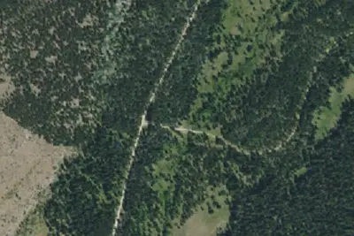
Aerial view · USGS / USDA NAIP · Public domain · source
At a glance
3 of 8 facts known · Forest Service data, checked Oct 3, 2026
- Elevation
- 5,912 ft (1,802 m)5,912 ft1,802 m
- Land
- Lewis & Clark National Forest
U.S. Forest Service
Amenities
From OpenStreetMap, Recreation.gov, USDA Forest Service — Recreation Opportunities, USFS INFRA Recreation Sites · Correct
- Drinking water
- Toilets
From OpenStreetMap, Recreation.gov, USDA Forest Service — Recreation Opportunities, USFS INFRA Recreation Sites
You could be the first camper hereYou could be the first camper on this page
Stayed here? Share what the next camper should know.
Free account · no email needed to browse
About
Jumping Creek Campground sits at an elevation of 5800 feet along US Highway 89 in the Little Belt Mountains 22 miles north of White Sulphur Springs. The 10 campsites are along Sheep Creek, which offers opportunity for fishing for brook and rainbow trout. The campground has multiple slots which can accommodate long trailers, up to a maximum length of 45 feet. Jumping Creek Campground is usually open late May through October. Nearby historic logging roads provide motorized access to the Smoky Mountain area. To the east on US Highway 89 is the trailhead to a scenic ATV trail which climbs Mizpah Peak. Please see Little Belt Mountains Motor Vehicle Use Map for location and closure dates.
All campgrounds on the Helena-Lewis and Clark National Forest are first-come, first-served. Reservations are not available. Camping is limited to 16 consecutive days in one location. A campground fee is required. Please pay at the self-serve campground fee station. Campsites cannot be reserved by simply paying for the site; camper must be present. A food storage order is in effect from March 1st to December 1st to prevent human-bear conflicts on the Helena-Lewis and Clark National Forest. Store all unattended food and attractants properly. Please see Food Storage Order for specifics. Open and close dates can vary depending on snowfall conditions. Please call the local district office or check our website. Leashed dogs are welcome. Horses are not allowed in campgrounds. Motorized OHVs must stay on the campground road. The campgrounds include access to potable water during the warmer months, and all have at least one handicap accessible vault toilet. Each campsite has a fire ring and/or grill, and a picnic table. Even if water is unavailable, campground fees are still required.
From OpenStreetMap, Recreation.gov, USDA Forest Service — Recreation Opportunities, and USFS INFRA Recreation Sites · Edit
Cell service
Report signalFCC map: no coverage reported
- VerizonNo coverage on FCC map
- AT&TNo coverage on FCC map
- T-MobileNo coverage on FCC map
Cell service at Jumping Creek Campground: FCC map Sep 2026
Weather
National Weather Service
- ThuPatchy Fog then Sunny45°25°
- FriSunny57°34°
- SatSunny60°31°
- SunSunny56°34°
- MonSunny, 5% chance of rain60°35°
Nearby camping
SeeSee all on the map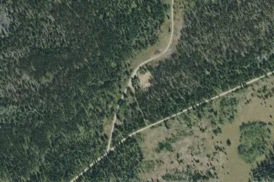
Adams Creek-6414-02
Dispersed · 1.4 mi · Neihart
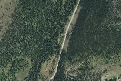
Moose Mountain-6412-10
Dispersed · 1.5 mi · Neihart
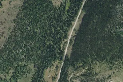
Moose Mountain-6412-09
Dispersed · 1.5 mi · Neihart
3 more within 25 mi
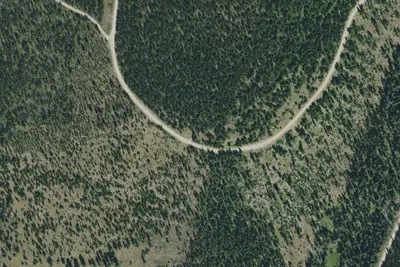
Nearby
The closest of each, in a straight line from here.
Dispersed camping nearby
Free dispersed camping within 19 mi, on public land.
Location and contact
Data from OpenStreetMap, Recreation Information Database (RIDB) / Recreation.gov, USDA Forest Service — Recreation Opportunities, USFS INFRA Recreation Sites
Something wrong here? Suggest an edit
Run this campground? Claim the listing