John Day River Basin Developed Campgrounds
Spray, Oregon · 1,657 ft · In John Day Wild and Scenic River
Photos: BLM
At a glance
4 of 8 facts known · recreation.gov, checked Oct 3, 2026
- Elevation
- 1,657 ft (505 m)1,657 ft505 m
Loops4
Pick a loop to see its sites.
From recreation.gov's site list, Oct 10, 2026. Loop names are trimmed and merged.
Amenities
You could be the first camper hereYou could be the first camper on this page
Stayed here? Share what the next camper should know.
Free account · no email needed to browse
About
Overview
The Central Oregon Field Office of the Bureau of Land Management oversees four separate fee campgrounds within the John Day River Basin in Central Oregon. Service Creek and Muleshoe Campgrounds are located near Service Creek, Oregon along the John Day River and State Route 207. Big Bend and Lone Pine Campgrounds are located between Kimberly and Monument along the North Fork of the John Day River and State Route 402.
The region is rural and tends to be quiet except during spring boating and fall hunting seasons. At around 2,000 feet in elevation, you'll see mostly sage and juniper with the occasional ponderosa pine. This area is a high-desert, so expect highly variable weather conditions especially in the spring and fall. Mid-summer tends to be very hot, but the river is nearby if you need to cool off. The winter is often cold and still.
From BLM National Recreation Sites & Facilities, Recreation.gov, and Recreation.gov — campground rate cards · · Edit
Cell service
Report signalFCC map: no coverage reported
- VerizonNo coverage on FCC map
- AT&TNo coverage on FCC map
- T-MobileNo coverage on FCC map
Cell service at John Day River Basin Developed Campgrounds: FCC map Dec 2025
Weather
National Weather Service
- WedSunny, 2% chance of rain71°40°
- ThuSunny78°43°
- FriSunny83°44°
- SatMostly Sunny72°38°
- SunMostly Sunny, 1% chance of rain70°40°
Nearby camping
SeeSee all on the map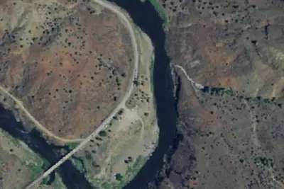
Service Creek
Dispersed · 100 ft · Spray
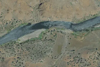
Camp site (Bureau of Land Management)
Dispersed · 1.9 mi · Spray
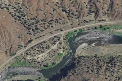
Muleshoe Recreation Site
Campground · 1.9 mi · Spray
3 more within 25 mi
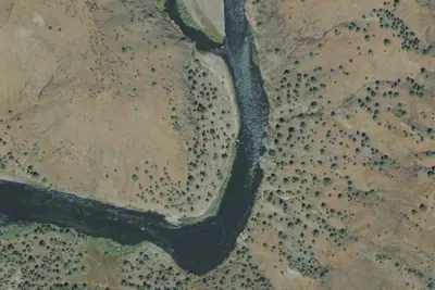
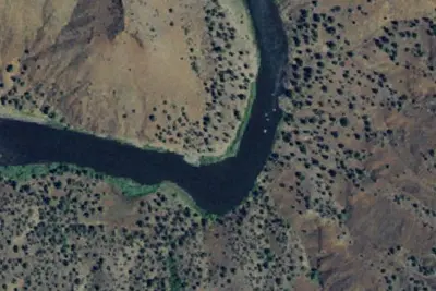
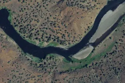
Dispersed camping nearby
Free dispersed camping within 19 mi, on public land.
- 1.9 mi
Camp site (Bureau of Land Management)
Spray, OR · On Bureau of Land Management land · Prineville Central Oregon Field Office
- 2.7 mi
Below Island
Spray, OR · On Bureau of Land Management land · Prineville Central Oregon Field Office
- 2.7 mi
Camp site (Bureau of Land Management)
Spray, OR · On Bureau of Land Management land · Prineville Central Oregon Field Office
- 3.6 mi
Cut Juniper
Spray, OR · On Bureau of Land Management land · Prineville Central Oregon Field Office
- 3.7 mi
Across From Cut Juniper
Spray, OR · On Bureau of Land Management land · Prineville Central Oregon Field Office
- 3.7 mi
Below Cut Juniper
Spray, OR · On Bureau of Land Management land · Prineville Central Oregon Field Office
Location and contact
Data from BLM National Recreation Sites & Facilities, Recreation Information Database (RIDB) / Recreation.gov, Recreation.gov — campground rate cards
Something wrong here? Suggest an edit
Run this campground? Claim the listing