Ivy Creek Campground
City of Creede, Colorado · 9,255 ft
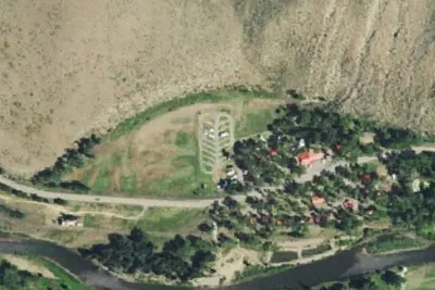
Aerial view · USGS / USDA NAIP · Public domain · source
Wildfire 31 mi NW: Elk, 7,257 acres, 90% contained
At a glance
3 of 8 facts known · Forest Service data, checked Oct 3, 2026
- Elevation
- 9,255 ft (2,821 m)9,255 ft2,821 m
- Land
- Rio Grande National Forest
U.S. Forest Service
Amenities
You could be the first camper hereYou could be the first camper on this page
Stayed here? Share what the next camper should know.
Free account · no email needed to browse
About
This facility has 4 developed sites each with a picnic table and fireplace ring. Sites 1 and 2 would accommodate small trailers or tents. There is a foot bridge that goes across Ivy Creek from a small parking lot to the developed camp units 3 and 4, which are suited only for small tent camping. Parking space tight but is ample. No firewood or refuse receptacles are provided. This campground is considered to be remote and is normally not heavily used, yet it is very attractive with the free flowing creek, and open grassland nearby. This area looks very different now due to the removal of dead and dying trees, a result of the spruce beetle. The road into the campground is too narrow and rough for large trailers and RVs. The campground is really more suitable for tents and popup camping trailers, as there are no long developed spurs or pull-throughs. Scroll Down to Information Center to see the individual campsite descriptions. This is also the site of the Ivy Creek Trailhead and Bulletin Board. All Parking for the trailhead users is outside the fenced in campground where there is a hitching rail and room for horse trailers. Ivy Creek Trail #805 goes into the Wilderness and provides the quickest route to Goose Lake. This is a trail open to foot and horse travel only. Here you will find district maps, Weminuche Wilderness maps and information and trail registration forms. 14 DAY CAMPING LIMIT.
Fees: Day Use:
From OpenStreetMap, USDA Forest Service — Recreation Opportunities, and USFS INFRA Recreation Sites · · Edit
Cell service
Report signal- Verizon4G LTE
- AT&T4G LTE
- T-MobileNo coverage on FCC map
Cell service at Ivy Creek Campground: FCC map Sep 2026
Weather
National Weather Service
- WedSnow Showers, 80% chance of rain41°24°
- ThuSunny, 1% chance of rain49°21°
- FriSunny51°27°
- SatSunny, 1% chance of rain54°32°
- SunPartly Sunny, 13% chance of rain52°32°
Nearby camping
SeeSee all on the map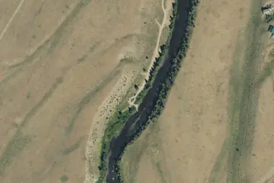
Rio Grande Campground
Public Land · 5.6 mi · City of Creede
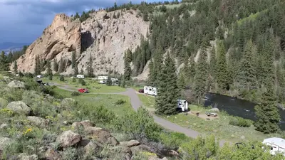
Marshall Park
Public Land · 7.4 mi · City of Creede
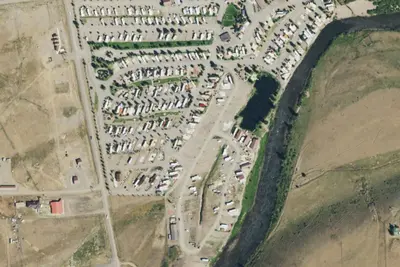
Mountain Views at Rivers Edge RV Park
RV Park · 11 mi · City of Creede
3 more within 25 mi
Dispersed camping nearby
Free dispersed camping within 19 mi, on public land.
- 13 mi
Camp site
City of Creede, CO · On U.S. Forest Service land · Rio Grande National Forest
- 13 mi
Camp site
City of Creede, CO · On U.S. Forest Service land · Rio Grande National Forest
- 14 mi
Camp site
South Fork, CO · On U.S. Forest Service land · Rio Grande National Forest
- 15 mi
Camp site
South Fork, CO · On U.S. Forest Service land · Rio Grande National Forest
- 16 mi
Camp site
South Fork, CO · On U.S. Forest Service land · Rio Grande National Forest
- 16 mi
Camp site
South Fork, CO · On U.S. Forest Service land · Rio Grande National Forest
Location and contact
Data from OpenStreetMap, USDA Forest Service — Recreation Opportunities, USFS INFRA Recreation Sites
Something wrong here? Suggest an edit
Run this campground? Claim the listing