Isaac Creek Shelters
Whatley, Alabama · 59 ft · In Alabama River Lakes
Photos: USACE
At a glance
4 of 8 facts known · recreation.gov, checked Sep 24, 2026
- Elevation
- 59 ft (18 m)59 ft18 m
Sites3
Isaac Creek Shelters lists no loops, so its sites are listed here. Pick a site to see its details.
All 3 shown · by site number
From recreation.gov's site list, Oct 10, 2026.
Amenities
You could be the first camper hereYou could be the first camper on this page
Stayed here? Share what the next camper should know.
Free account · no email needed to browse
About
Overview
Isaac Creek / Damsite East Bank is located on Claiborne Lake in Alabama's southwest Hill Country. Day use shelters are located above and below Claiborne Lock and Dam The lake encompasses more than 60 miles of the Alabama River, and Isaac Creek has great appeal to sportsmen, birders, naturalists or those simply wanting to relax in the outdoors.
From Recreation.gov and Recreation.gov — campground rate cards · Edit
Cell service
Report signal- Verizon4G LTE
- AT&TNo coverage on FCC map
- T-MobileNo coverage on FCC map
Cell service at Isaac Creek Shelters: FCC map Dec 2025
Weather
National Weather Service
- TueSunny91°59°
- WedSunny90°61°
- ThuSunny89°62°
- FriSunny, 1% chance of rain87°53°
- SatSunny71°51°
Nearby camping
SeeSee all on the map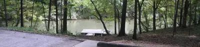
Isaac Creek
Public Land · 0.5 mi · Whatley
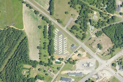
RV park
RV Park · 15 mi · Monroeville
Walmart · Monroeville
Overnight Parking · 16 mi · Monroeville
3 more within 25 mi
Location and contact
Data from Recreation Information Database (RIDB) / Recreation.gov, Recreation.gov — campground rate cards
Something wrong here? Suggest an edit
Run this campground? Claim the listing