Indian Trees Campground
Sula, Montana · 5,115 ft · In Bitterroot National Forest
Photos: Joe Butsick/Bitterroot National Forest
Wildfire 23 mi NE: Moose, 6,005 acres, 37% contained
At a glance
5 of 8 facts known · recreation.gov, checked Sep 24, 2026
- Elevation
- 5,115 ft (1,559 m)5,115 ft1,559 m
Sites15
Indian Trees Campground lists no loops, so its sites are listed here. Pick a site to see its details.
- 001Standard · up to 10 people55 ft
- 002Walk-to · up to 6 people
- 003Standard · up to 10 people48 ft
- 004Standard · up to 10 people55 ft
- 005Standard · up to 10 people60 ft
- 006Standard · accessible · up to 10 people60 ft
- 007Standard · up to 10 people60 ft
- 008Standard · up to 10 people40 ft
- 009Standard · up to 10 people44 ft
- 010Standard · up to 10 people55 ft
Showing 10 of 15 · by site number
From recreation.gov's site list, Oct 10, 2026.
Amenities
From OpenStreetMap, Overture Maps Foundation — Places, Recreation.gov, Recreation.gov — campground rate cards, USDA Forest Service — Recreation Opportunities, USFS INFRA Recreation Sites · Correct
- ADA accessible
- Campfires allowed
From OpenStreetMap, Overture Maps Foundation — Places, Recreation.gov, Recreation.gov — campground rate cards, USDA Forest Service — Recreation Opportunities, USFS INFRA Recreation Sites
You could be the first camper hereYou could be the first camper on this page
Stayed here? Share what the next camper should know.
Free account · no email needed to browse
About
Overview
Indian Trees Campground is a quiet place to stay 3/4 miles off of Highway 93 in the mountains of southwest Montana. It provides access to a number of enjoyable recreational activities, as well as the vast scenery of the rugged Bitterroot National Forest. The area boasts wild game, high quality water and wild and scenic rivers.Recreation
Visitors enjoy a variety of recreational opportunities, including hiking, mountain biking and horseback riding. A number of trails can be accessed near the campground, including the Nez Perce National Historic Trail and the Lewis and Clark National Historic Trail. The Nez Perce NHT is a 3.1-mile trail begins near the turnoff to the campground and follows a portion of the original Nez Perce route. Explorers in the early 1800s also used the route, and wagon ruts are still visible along parts of the trail. The Continental Divide National Scenic Trail is also nearby.
From OpenStreetMap, Overture Maps Foundation — Places, Recreation.gov, Recreation.gov — campground rate cards, USDA Forest Service — Recreation Opportunities, and USFS INFRA Recreation Sites · · Edit
Cell service
Report signal- Verizon4G LTE
- AT&TNo coverage on FCC map
- T-MobileNo coverage on FCC map
Cell service at Indian Trees Campground: FCC map Dec 2025
Weather
National Weather Service
- WedWidespread Frost then Mostly Sunny, 2% chance of rain56°28°
- ThuWidespread Frost then Sunny61°32°
- FriSunny68°37°
- SatSunny68°35°
- SunSunny64°37°
Nearby camping
SeeSee all on the map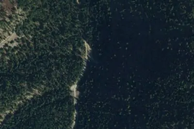
Rd 729-01
Dispersed · 0.8 mi · Sula
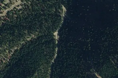
Porcupine Saddle-01
Dispersed · 0.8 mi · Sula
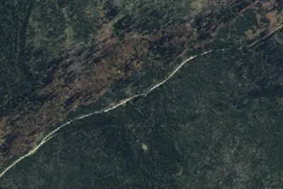
Turn Around
Dispersed · 2.7 mi · Sula
3 more within 25 mi
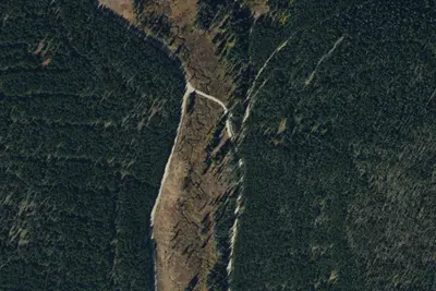
Dispersed camping nearby
Free dispersed camping within 19 mi, on public land.
Location and contact
Data from OpenStreetMap, Overture Maps Foundation — Places, Recreation Information Database (RIDB) / Recreation.gov, Recreation.gov — campground rate cards, USDA Forest Service — Recreation Opportunities, USFS INFRA Recreation Sites
Something wrong here? Suggest an edit
Run this campground? Claim the listing