Indian Hollow
Huntington, Massachusetts · 571 ft · In Knightville Dam
Photos: Keith Goulet
At a glance
4 of 8 facts known · recreation.gov, checked Sep 24, 2026
- Elevation
- 571 ft (174 m)571 ft174 m
Loops0
Pick a loop to see its sites.
From recreation.gov's site list, Oct 10, 2026. Loop names are trimmed and merged.
Amenities
You could be the first camper hereYou could be the first camper on this page
Stayed here? Share what the next camper should know.
Free account · no email needed to browse
About
Overview
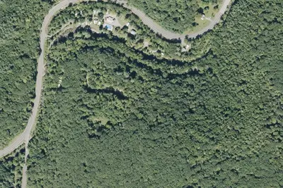
With abundant wildlife, lush scenery and waterfront views, Indian Hollow Group Campground, located at the Knightville Dam and Reservoir, offers groups and clubs a recreational oasis.Recreation
The rivers and streams at Knightville offer excellent trout fishing, and the river is stocked with trout in both the spring and fall. The surrounding hills provide prime upland game habitat, and the Commonwealth of Massachusetts stocks pheasants for the fall hunting season. Hunting and fishing are permitted in the area in accordance with posted restrictions and Massachusetts laws.
From Overture Maps Foundation — Places, Recreation.gov, and Recreation.gov — campground rate cards · · Edit
Cell service
Report signalFCC map: no coverage reported
- VerizonNo coverage on FCC map
- AT&TNo coverage on FCC map
- T-MobileNo coverage on FCC map
Cell service at Indian Hollow: FCC map Dec 2025
Weather
National Weather Service
- WedMostly Sunny, 7% chance of rain69°44°
- ThuSunny60°41°
- FriRain Showers, 100% chance of rain62°34°
- SatMostly Sunny, 3% chance of rain43°28°
- SunSunny53°32°
Nearby camping
SeeSee all on the map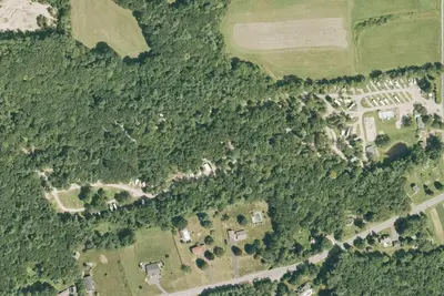
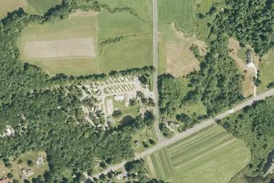
KOA Westhampton
RV Park · 5.3 mi · Northampton
KOA weathampton
Campground · 5.4 mi · Northampton
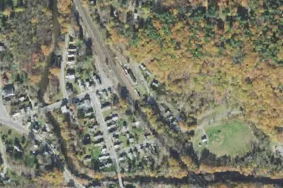
Chester Railway Station
Campground · 7.9 mi · Chester
3 more within 25 mi
Location and contact
Data from Overture Maps Foundation — Places, Recreation Information Database (RIDB) / Recreation.gov, Recreation.gov — campground rate cards
Something wrong here? Suggest an edit
Run this campground? Claim the listing