Indian Creek Group Campground
Mount Pleasant, Utah · 8,763 ft
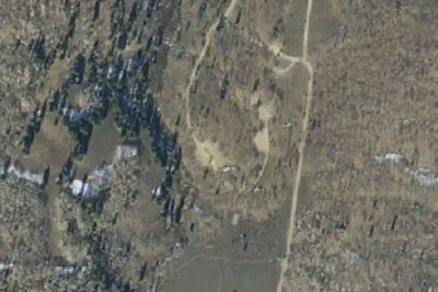
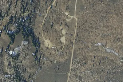
Aerial view · USGS / USDA NAIP · Public domain · source
At a glance
3 of 8 facts known · Forest Service data, checked Oct 3, 2026
- Elevation
- 8,763 ft (2,671 m)8,763 ft2,671 m
Amenities
You could be the first camper hereYou could be the first camper on this page
Stayed here? Share what the next camper should know.
Free account · no email needed to browse
About
Indian Creek Campground is located at ~8400 ' elevation near Upper Joe's Valley, in a high mountain valley surrounded by beautiful peaks. The area is dotted with an aspen grove, sagebrush, and pine trees. The trees offer limited shade for campers but provide spectacular autumn color. Many trails crisscross the surrounding valley and mountainsides and visitors to the Indian Creek Campground enjoy exploring the area trails on foot, on horseback, or by riding mountain bikes or off-highway vehicles (OHV).Indian Creek Campground is a favorite for group gatherings, with seven large group campsites. One of the large sites can accommodate 70 campers, five sites can accommodate 50 campers each, and one site can accommodate 30 campers. Vault toilets and drinking water are provided at the campground, but no electricity or garbage service are available within the campground. Roads and spurs within the campground are dirt. Nearby attractions include Potters Pond (for canoeing and fishing) and the expansive Arapeen ATV Trail System, which has over 350 miles of designated, well-maintained OHV trails suitable for all riding skill levels.
Fees: Overnight Use:
From USDA Forest Service — Recreation Opportunities and USFS INFRA Recreation Sites · · Edit
Cell service
Report signalFCC map: no coverage reported
- VerizonNo coverage on FCC map
- AT&TNo coverage on FCC map
- T-MobileNo coverage on FCC map
Cell service at Indian Creek Group Campground: FCC map Dec 2025
Weather
National Weather Service
- WedChance Snow Showers, 47% chance of rain36°25°
- ThuMostly Sunny, 1% chance of rain44°24°
- FriSunny49°29°
- SatSunny, 1% chance of rain49°30°
- SunSunny, 2% chance of rain51°32°
Nearby camping
SeeSee all on the map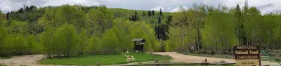
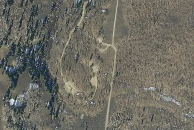
Indian Creek (Ut)
Public Land · 400 ft · Mount Pleasant
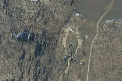
Site 1
Campground · 0.1 mi · Mount Pleasant
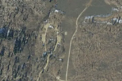
Site 4
Campground · 0.1 mi · Mount Pleasant
3 more within 25 mi
6 OpenStreetMap entries in Mount Pleasant share one park. They may be individual sites of a single campground. Suggest a merge
Dispersed camping nearby
Free dispersed camping within 19 mi, on public land.
- 6.3 mi
Camp site
Orangeville, UT · On U.S. Forest Service land · Manti-La Sal National Forest
- 6.4 mi
Camp site
Mount Pleasant, UT · On U.S. Forest Service land · Manti-La Sal National Forest
- 6.5 mi
Camp site
Orangeville, UT · On U.S. Forest Service land · Manti-La Sal National Forest
- 11 mi
Camp site
Clear Creek, UT · On U.S. Forest Service land · Manti-La Sal National Forest
- 11 mi
Camp site
Clear Creek, UT · On U.S. Forest Service land · Manti-La Sal National Forest
- 11 mi
Camp site
Clear Creek, UT · On U.S. Forest Service land · Manti-La Sal National Forest
Location and contact
Data from USDA Forest Service — Recreation Opportunities, USFS INFRA Recreation Sites
Something wrong here? Suggest an edit
Run this campground? Claim the listing