Indian Creek Campground (Ca)
Alpine Village, California · 5,597 ft · In Indian Creek Recreation Area
Photos: BLM
At a glance
5 of 8 facts known · recreation.gov, checked Sep 24, 2026
- Elevation
- 5,597 ft (1,706 m)5,597 ft1,706 m
Loops2
Pick a loop to see its sites.
Other areas
From recreation.gov's site list, Oct 10, 2026: 3 staff entries left out. Loop names are trimmed and merged.
Amenities
From BLM National Recreation Sites & Facilities, Recreation.gov, Recreation.gov — campground rate cards · Correct
- ADA accessible
- Campfires allowed
- Showers
From BLM National Recreation Sites & Facilities, Recreation.gov, Recreation.gov — campground rate cards
You could be the first camper hereYou could be the first camper on this page
Stayed here? Share what the next camper should know.
Free account · no email needed to browse
About
Overview
Due to the extensive damage sustained in the 2021 Tamarack Fire, Indian Creek Campground is CLOSED at this time and will remain closed until the area can be made safe for public access and facilities can be rebuilt. Updated Press Release .
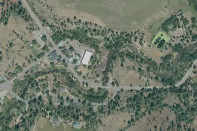
Indian Creek Campground is nestled in the eastern foothills of the Sierra Nevada between the California towns of Woodfords and Markleeville. Elevation in the area ranges from 5,600 feet at the reservoir to 6,400 feet in the surrounding foothills. Pine trees and sagebrush dot the landscape. Summers are generally warm and dry with daytime temperatures occasionally reaching 90 degrees Fahrenheit, while evenings are cool and comfortable. Sunny and dry days prevail, interspersed with periods of spectacular thunderstorms in the mid-summer months.
From BLM National Recreation Sites & Facilities, Recreation.gov, and Recreation.gov — campground rate cards · · Edit
Cell service
Report signalFCC map: no coverage reported
- VerizonNo coverage on FCC map
- AT&TNo coverage on FCC map
- T-MobileNo coverage on FCC map
Cell service at Indian Creek Campground (Ca): FCC map Dec 2025
Weather
National Weather Service
- TueSunny52°35°
- WedSunny64°40°
- ThuSunny65°38°
- FriSunny70°41°
- SatSunny70°41°
Nearby camping
SeeSee all on the map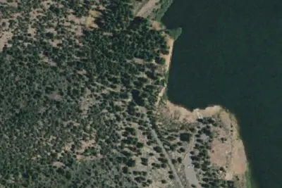
Indian Creek Campground
Public Land · 0.2 mi · Alpine Village
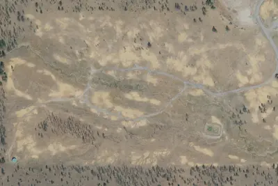
Turtle Rock Campground
Public Land · 2.1 mi · Markleeville
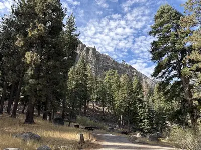
Crystal Springs
Public Land · 3.5 mi · Alpine Village
3 more within 25 mi
Dispersed camping nearby
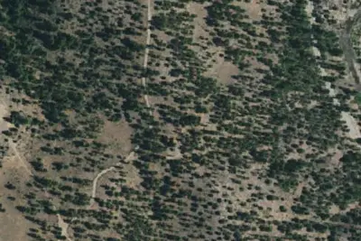
Free dispersed camping within 19 mi, on public land.
Location and contact
Data from BLM National Recreation Sites & Facilities, Recreation Information Database (RIDB) / Recreation.gov, Recreation.gov — campground rate cards
Something wrong here? Suggest an edit
Run this campground? Claim the listing