Hurricane Bridge
Smithville, Tennessee · 705 ft · In Center Hill Recreation Area
At a glance
5 of 8 facts known · recreation.gov, checked Sep 24, 2026
- Elevation
- 705 ft (215 m)705 ft215 m
Sites1
Hurricane Bridge lists no loops, so its sites are listed here. Pick a site to see its details.
All 1 shown · by site number
From recreation.gov's site list, Oct 10, 2026.
Other campgrounds in Center Hill Recreation Area 5
Nearest first. Every place inside the park's boundary.
- Floating Mill Park2 loops · FMIP and TCLP · 115 sites · $24–$32 a night · full hookups · Reserve on Recreation.gov1.4 mi
- Ragland Bottom4 loops · DAY USE, HILL, LAKE, MIDDLE · $24–$32 a night · full hookups · Reserve on Recreation.gov3.9 mi
- RV parkRV Park · facts not yet known4.2 mi
- Long Branch (Center Hill Lake)2 loops · GLOO and LBRA · $30–$32 a night · full hookups · Reserve on Recreation.gov6.8 mi
- Center Hill Lake Primitive Camping Areas21 loops · Big Hurricane - Site 1, Britch Creek - Site 2, Cane Hollow - Site 3C, Cane Hollow -Site 3A, Cane Hollow -Site 3B, Cherry Creek - Site 4, Crowder Cove - Site 5, Davies Island East - Site 6, Davies Island North - Site 8, Davies Island West -Site 7, Eagle Creek -Site 9, East Shore - Site 10, Falling Water - Site 11, Fancher Falls -Site 12, Irwin Hollow -Site 13, Pedigo Point - Site 14, Pine Creek -Site 15, Sink Creek - Site 16, South Shore -Site 17, Squirrel Tail - Site 19, White County Access -Site 20 · $8 a night · Reserve on Recreation.gov6.8 mi
Also in the park: 2 single sites
Open the park pageAmenities
From Overture Maps Foundation — Places, Recreation.gov, Recreation.gov — campground rate cards · Correct
- ADA accessible
From Overture Maps Foundation — Places, Recreation.gov, Recreation.gov — campground rate cards
You could be the first camper hereYou could be the first camper on this page
Stayed here? Share what the next camper should know.
Free account · no email needed to browse
About
Overview
Hurricane Bridge Recreation Area is located on the shores of the scenic Center Hill Lake on central Tennessee's Highland Rim.
The lake stretches 64 miles up the Caney Fork River, where visitors come to enjoy boating, fishing and water sports. The 415 miles of forested shoreline provide excellent hiking, hunting and camping opportunities.Recreation
From Overture Maps Foundation — Places, Recreation.gov, and Recreation.gov — campground rate cards · · Edit
Cell service
Report signal- Verizon4G LTE
- AT&T4G LTE
- T-MobileNo coverage on FCC map
Cell service at Hurricane Bridge: FCC map Dec 2025
Weather
National Weather Service
- WedMostly Sunny, 3% chance of rain90°65°
- ThuPatchy Fog then Sunny, 12% chance of rain90°62°
- FriMostly Sunny, 4% chance of rain73°41°
- SatSunny63°38°
- SunSunny68°42°
Nearby camping
SeeSee all on the mapOutside the park, nearest first.
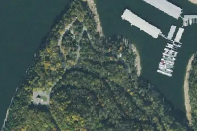
Edgar Evins State Park Campground
State Park · 5.9 mi · Smithville
Walmart · Smithville
Overnight Parking · 6.9 mi · Smithville
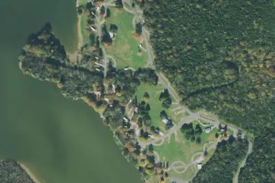
Granville Recreation Area / Indian Creek Campground
Campground · 15 mi · Gordonsville
3 more within 25 mi
Location and contact
Data from Overture Maps Foundation — Places, Recreation Information Database (RIDB) / Recreation.gov, Recreation.gov — campground rate cards
Something wrong here? Suggest an edit
Run this campground? Claim the listing