Hovenweep Campground
In Hovenweep National Monument · Aneth, Utah · 5,217 ft
Photos: NPS/Claire E. Murphy
No reviews yet
At a glance
6 of 8 facts known · recreation.gov, checked Sep 24, 2026
- Elevation
- 5,217 ft (1,590 m)
Weather
This Afternoon
Slight Chance Showers And Thunderstorms
78° / 55°
20%
Saturday
Sunny
81° / 58°
1%
Sunday
Partly Sunny
81° / 58°
3%
Monday
Showers And Thunderstorms
70° / 54°
87%
Tuesday
Showers And Thunderstorms Likely
70° / 52°
74%
Source: National Weather Service
About
Overview Hovenweep Campground is nestled within the beautiful, sweeping landscape of the Colorado Plateau in Southeast Utah, at an elevation of approximately 5300 ft. (1615 m). The campground is located alongside two converging canyons and is only 1/4 mile (.4 km) from the park's visitor center. Stunning views of mountains, canyons, and sandstone ledges adorned with desert plants make for a spectacular camping experience! Length of stay is limited to seven (7) nights (consecutively or non-consecutively) in any 30-day period or a total of 14 nights per year. Recreation
Amenities
From OpenStreetMap, Recreation Information Database (RIDB) / Recreation.gov · Add or correct
- ADA accessible
- Campfires allowed
- Campfires allowed
- Caravan / RV sites
- Cell signal reported
- Drinking water
- Tent sites
- Toilets
- Wheelchair accessible
You could be the first camper hereYou could be the first camper on this page
We know where it is and what the land is. Your stay fills in the rest. One sign-in unlocks everything below, and each one earns a badge.
Free account · no email needed to browse
Reviews
none yet
Nearby camping
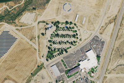
See all on the map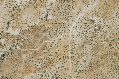
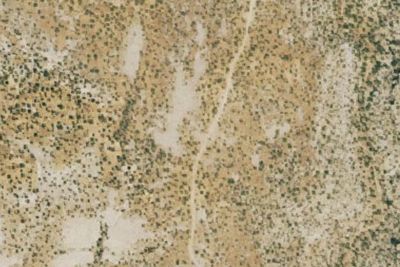
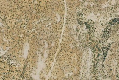
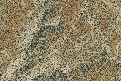
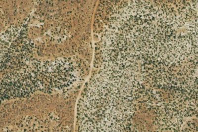
Dispersed camping nearby
Free dispersed camping within 19 mi, on public land.
Details
Data from OpenStreetMap, Recreation Information Database (RIDB) / Recreation.gov · Suggest an edit · Claim this listing
Cell Service
Verizon and AT&T on the FCC map
Questions & Answers
none yet