Horseglade
Beatty, Oregon · 5,066 ft
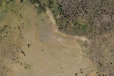
Aerial view · USGS / USDA NAIP · Public domain · source
At a glance
3 of 8 facts known · Forest Service data, checked Oct 3, 2026
- Elevation
- 5,066 ft (1,544 m)5,066 ft1,544 m
- Land
- Fremont National Forest
U.S. Forest Service
Amenities
You could be the first camper hereYou could be the first camper on this page
Stayed here? Share what the next camper should know.
Free account · no email needed to browse
About
Horseglade campground provides access to Woods Line Spur of the OC and E Trail. Trail users can go south following the Five Mile Creek or head north toward the Sycan Marsh to view Merritt Creek Trestle. The Horseglade campground is 40 minutes north of Bly, Oregon, is situated on the Oregon California and Eastern State (OC and E) Trail, a 100-mile trail built on the old railbed of the OC and E Railroad. This trail is open to hikers, horseback riders and mountain bikers. It begins in the heart of Klamath Falls, Oregon, extending east to Bly, Oregon, and north to the lush Sycan Marsh on the Woods Line railroad spur. Amenities at the campground include picnic tables, campfire rings, a vault toilet and a parking area with room for trailer turnaround. There is no potable water at the campground. Visitors need to pack plenty of water. Maintenance services are provided from June 15th through September 15th.
Fees: No fees are required for this site
From USFS INFRA Recreation Sites · Edit
Cell service
Report signal- VerizonNo coverage on FCC map
- AT&TNo coverage on FCC map
- T-Mobile4G LTE
Cell service at Horseglade: FCC map Dec 2025
Weather
National Weather Service
- WedSunny, 1% chance of rain66°35°
- ThuSunny70°35°
- FriSunny72°38°
- SatSunny67°35°
- SunSunny64°33°
Nearby camping
SeeSee all on the map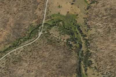
Sandhill Crossing Campground
Public Land · 11 mi · Bly
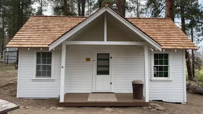
Currier Guard Station
Public Land · 12 mi · Langell Valley
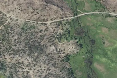
Lee Thomas Campground
Public Land · 13 mi · Summer Lake
3 more within 25 mi
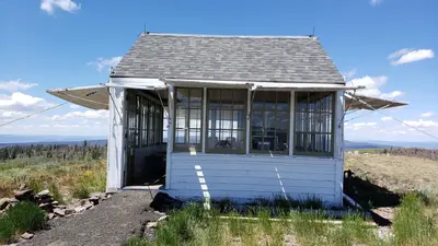
4 OpenStreetMap entries in Beatty share one park. They may be individual sites of a single campground. Suggest a merge
Dispersed camping nearby
Free dispersed camping within 19 mi, on public land.
Location and contact
Data from USFS INFRA Recreation Sites
Something wrong here? Suggest an edit
Run this campground? Claim the listing