Hoback Guard Station
Bondurant, Wyoming · 6,660 ft · In Bridger-Teton National Forest
At a glance
4 of 8 facts known · recreation.gov, checked Sep 24, 2026
- Elevation
- 6,660 ft (2,030 m)6,660 ft2,030 m
Sites1
Hoback Guard Station lists no loops, so its sites are listed here. Pick a site to see its details.
All 1 shown · by site number
From recreation.gov's site list, Oct 10, 2026: 1 staff entry left out.
Amenities
From Recreation.gov, Recreation.gov — campground rate cards, USDA Forest Service — Recreation Opportunities · Correct
- Campfires allowed
- Showers
- Toilets
From Recreation.gov, Recreation.gov — campground rate cards, USDA Forest Service — Recreation Opportunities
You could be the first camper hereYou could be the first camper on this page
Stayed here? Share what the next camper should know.
Free account · no email needed to browse
About
Overview
Water & Power are NOT GUARANTEED, Hoback Guard Station was built in 1935 by the CCC to be used as a working Ranger Station, and is considered eligible to the National Register of Historic Places. About 34 miles from Jackson, Wyoming, This guard station beckons guests who want a scenic backcountry experience with the convenience of electricity and running water and great mountain scenery. Water is NOT available until Mid June or July and will be turned off Mid Sept due to freezing temps and possibly earlier depending on weather conditions. Please call the office to confirm 307-276-5800.
Recreation
Hiking, biking and horseback riding trails crisscross the surrounding mountains, leading visitors to impressive scenery like Cliff Creek Falls. 15 miles up the road is the beautiful Snake River Canyon where you can fish, raft, kayak, cliff climb, or just enjoy the breathtaking scenery. Granite Hot Springs is a natural hot springs pool that sits 10 miles back in the Bridger-Teton Forest.
From Recreation.gov, Recreation.gov — campground rate cards, and USDA Forest Service — Recreation Opportunities · · Edit
Cell service
Report signalFCC map: no coverage reported
- VerizonNo coverage on FCC map
- AT&TNo coverage on FCC map
- T-MobileNo coverage on FCC map
Cell service at Hoback Guard Station: FCC map Dec 2025
Weather
National Weather Service
- WedMostly Sunny, 2% chance of rain48°21°
- ThuSunny56°21°
- FriSunny59°23°
- SatSunny60°23°
- SunSunny, 1% chance of rain58°23°
Nearby camping
SeeSee all on the map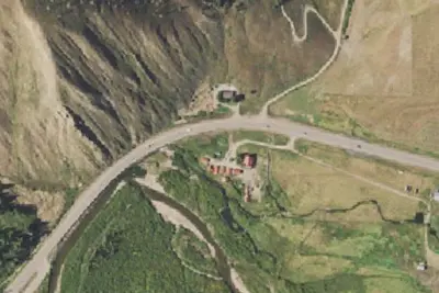
Black Powder Cabins and Camping
Campground · 3.4 mi · Bondurant
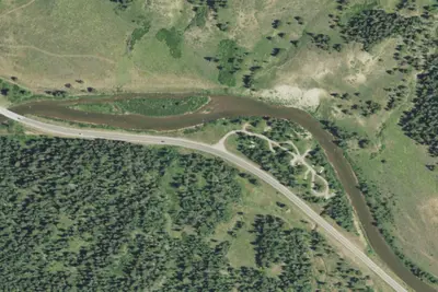
Kozy Campground
Public Land · 6.1 mi · Bondurant
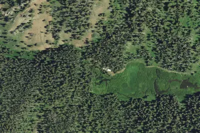
Camp site
Campground · 8.0 mi · Bondurant
3 more within 25 mi
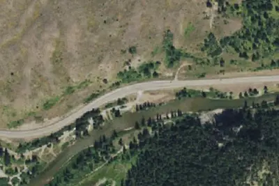
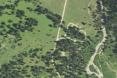
5 OpenStreetMap entries in Bondurant share one park. They may be individual sites of a single campground. Suggest a merge
Dispersed camping nearby
Free dispersed camping within 19 mi, on public land.
- 11 mi
Camp site
Bondurant, WY · On U.S. Forest Service land · Teton National Forest
- 14 mi
Camp site
Bondurant, WY · On U.S. Forest Service land · Bridger National Forest
- 15 mi
Camp site
Hoback, WY · On U.S. Forest Service land · Teton National Forest
- 16 mi
Camp site
Hoback, WY · On U.S. Forest Service land · Teton National Forest
- 17 mi
Hunting Camp
Bondurant, WY · On U.S. Forest Service land · Bridger National Forest
Location and contact
Data from Recreation Information Database (RIDB) / Recreation.gov, Recreation.gov — campground rate cards, USDA Forest Service — Recreation Opportunities
Something wrong here? Suggest an edit
Run this campground? Claim the listing