Haw Creek Falls Point of Interest
Deer, Arkansas · 801 ft
Aerial view · USGS / USDA NAIP · Public domain · source
Photos taken nearby
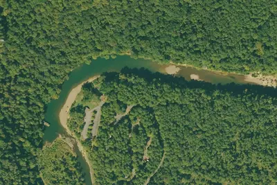
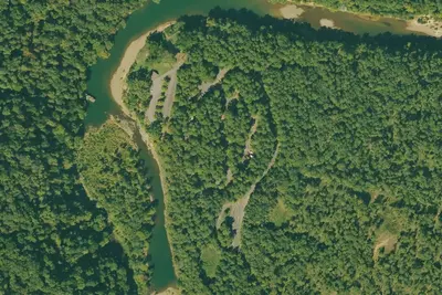
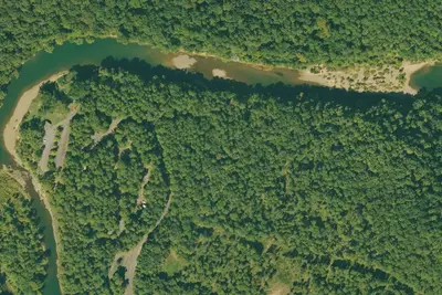
From Wikimedia Commons, taken close to this campground — not necessarily pictures of it.
At a glance
3 of 8 facts known · Forest Service data, checked Oct 3, 2026
- Elevation
- 801 ft (244 m)801 ft244 m
- Land
- Ozark National Forest
U.S. Forest Service
Amenities
You could be the first camper hereYou could be the first camper on this page
Stayed here? Share what the next camper should know.
Free account · no email needed to browse
About
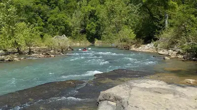
Surrounded by a beautiful mature hardwood forest, Haw Creek Falls Point of Interest is located on a small mountain stream with picturesque falls, rocks, and a bluff. The Big Piney Wild and Scenic River is nearby. There is also an accessible trail to the waterfalls. The Ozark Highlands Trail goes through this point of interest. The area is open all year. No fees for camping or day use. Camping allowed in designated sites. There is a low water bridge at the entrance to Haw Creek Falls. This area is subject to flash flooding. Visitors are responsible for monitoring conditions and taking precautionary measures. The removal of the gate does not indicate the area is always safe during changing weather conditions.
Fees: No fees are required for this site
From Overture Maps Foundation — Places, USDA Forest Service — Recreation Opportunities, and USFS INFRA Recreation Sites · Edit
Cell service
Report signalFCC map: no coverage reported
- VerizonNo coverage on FCC map
- AT&TNo coverage on FCC map
- T-MobileNo coverage on FCC map
Cell service at Haw Creek Falls Point of Interest: FCC map Dec 2025
Weather
National Weather Service
- WedShowers And Thunderstorms Likely, 73% chance of rain82°68°
- ThuSunny, 8% chance of rain82°56°
- FriSlight Chance Rain Showers then Mostly Sunny, 16% chance of rain60°43°
- SatSunny62°43°
- SunSunny66°51°
Nearby camping
SeeSee all on the map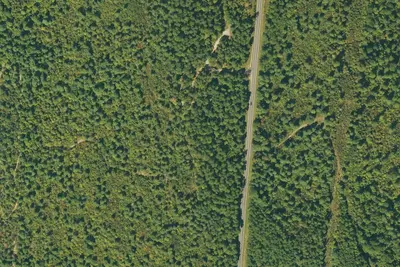
Camp site
Campground · 10 mi · Deer
Camp site
Campground · 10 mi · Hagarville
RV park
RV Park · 10 mi · Hagarville
3 more within 25 mi
5 OpenStreetMap entries in Deer share one park. They may be individual sites of a single campground. Suggest a merge
Location and contact
Data from Overture Maps Foundation — Places, USDA Forest Service — Recreation Opportunities, USFS INFRA Recreation Sites
Something wrong here? Suggest an edit
Run this campground? Claim the listing