Harlequin Campground
Stehekin, Washington · 1,184 ft · In Lake Chelan National Recreation Area
Photos: NPS Photo / Bryanna Plog
Wildfire 3.4 mi W: Sisi, 4,615 acres, 34% contained
At a glance
5 of 8 facts known · recreation.gov, checked Sep 24, 2026
- Elevation
- 1,184 ft (361 m)1,184 ft361 m
Sites7
Harlequin Campground lists no loops, so its sites are listed here. Pick a site to see its details.
From recreation.gov's site list, Oct 10, 2026: 1 staff entry left out.
Other campgrounds in Lake Chelan National Recreation Area 3
Nearest first. Every place inside the park's boundary.
- Camp StehekinCampground · facts not yet known1.3 mi
- Purple Point Campground6 sites3.5 mi
- Lakeview Campground9 sites3.9 mi
Also in the park: 25 backcountry and High Sierra camps
Open the park pageAmenities
From National Park Service — campgrounds, OpenStreetMap, Recreation.gov, Recreation.gov — campground rate cards · Correct
- Campfires allowed
- Campfires allowed
- Picnic tables
- Reservations (recommended)
- Tent sites (7)
From National Park Service — campgrounds, OpenStreetMap, Recreation.gov, Recreation.gov — campground rate cards
You could be the first camper hereYou could be the first camper on this page
Stayed here? Share what the next camper should know.
Free account · no email needed to browse
About
Overview
Campgrounds in Lake Chelan National Recreation Area are walk-in sites located in the Stehekin Valley. Harlequin Camp is located along the Stehekin River, 4.5 miles up the Stehekin Valley Road from Stehekin Landing and approximately 6.5 miles from High Bridge.
Stehekin is a remote community with limited facilities and is only accessible by foot, boat, or plane. There is some shared parking at the campground for a limited number of vehicles but all sites are considered walk-in.
From National Park Service — campgrounds, OpenStreetMap, Recreation.gov, and Recreation.gov — campground rate cards · · Edit
Cell service
Report signalFCC map: no coverage reported
- VerizonNo coverage on FCC map
- AT&TNo coverage on FCC map
- T-MobileNo coverage on FCC map
Cell service at Harlequin Campground: FCC map Dec 2025
Weather
National Weather Service
- TuePartly Sunny, 3% chance of rain69°41°
- WedMostly Sunny, 7% chance of rain72°42°
- ThuMostly Sunny75°43°
- FriSunny80°53°
- SatChance Rain Showers, 52% chance of rain63°42°
Nearby camping
SeeSee all on the mapOutside the park, nearest first.
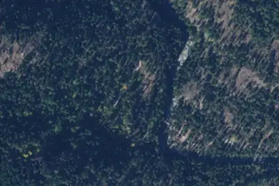
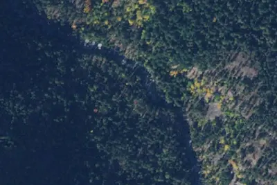
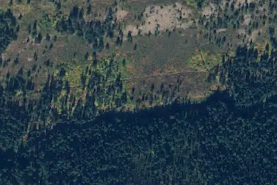
Dispersed camping nearby
Free dispersed camping within 19 mi, on public land.
- 0.9 mi
Rainbow Bridge Camp
Stehekin, WA · On National Park Service land · Lake Chelan National Recreation Area
- 1.8 mi
Rainbow Ford Camp
Stehekin, WA · On National Park Service land · Lake Chelan National Recreation Area
- 2.5 mi
Bench Creek Camp
Stehekin, WA · On National Park Service land · Lake Chelan National Recreation Area
- 2.6 mi
Rainbow Meadows Camp
Stehekin, WA · On National Park Service land · Lake Chelan National Recreation Area
- 2.8 mi
Weaver Point
Stehekin, WA · On National Park Service land · Lake Chelan National Recreation Area
- 2.8 mi
Rainbow Meadows Stock Camp
Stehekin, WA · On National Park Service land · Lake Chelan National Recreation Area
Location and contact
Data from National Park Service — campgrounds (NPS Data API), OpenStreetMap, Recreation Information Database (RIDB) / Recreation.gov, Recreation.gov — campground rate cards
Something wrong here? Suggest an edit
Run this campground? Claim the listing