Greenville Recreation Area
Greenville, Missouri · 381 ft · In Wappapello Lake
Photos: USACE
At a glance
5 of 8 facts known · recreation.gov, checked Oct 3, 2026
- Elevation
- 381 ft (116 m)381 ft116 m
Loops4
Pick a loop to see its sites.
Other areas
From recreation.gov's site list, Oct 10, 2026: 9 staff entries left out. Loop names are trimmed and merged.
Amenities
From Recreation.gov, Recreation.gov — campground rate cards · Correct
- ADA accessible
- Campfires allowed
- Drinking water
- Playground
- Showers
- Toilets
From Recreation.gov, Recreation.gov — campground rate cards
You could be the first camper hereYou could be the first camper on this page
Stayed here? Share what the next camper should know.
Free account · no email needed to browse
About
Overview
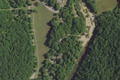
Greenville Recreation Area is located on the northen end of Wappapello Lake Project, nestled on the banks of the St. Francis River. The spacious campground is built on the original site of the historical Old Greenville City, visitors have seemingly endless opportunities for fun. The Memory Lane trail winds along the historical foundations and streets offering a glimpse back in time. The Greenville Trail, a three mile hike or bike trail, connects the modern city of Greenville to the campground. The expansive grounds, multiple playgrounds, play courts and large event area provide opportunities for all ages and abilities.
Click here to take a virtual tour of the facilities at Wappapello Lake!
From Recreation.gov and Recreation.gov — campground rate cards · · Edit
Cell service
Report signal- Verizon4G LTE
- AT&T5G · 4G LTE
- T-Mobile5G · 4G LTE
Cell service at Greenville Recreation Area: FCC map Dec 2025
Weather
National Weather Service
- WedSlight Chance Showers And Thunderstorms then Showers And Thunderstorms, 79% chance of rain84°66°
- ThuChance Showers And Thunderstorms, 41% chance of rain88°50°
- FriSlight Chance Rain Showers then Mostly Sunny, 22% chance of rain64°36°
- SatSunny64°35°
- SunSunny69°42°
Nearby camping
SeeSee all on the map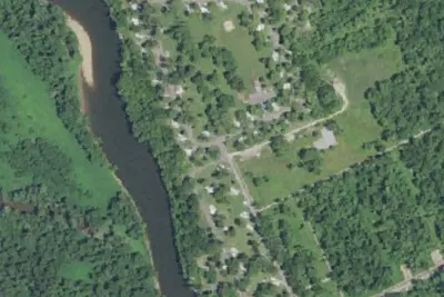
Camp site
Campground · 0.2 mi · Greenville
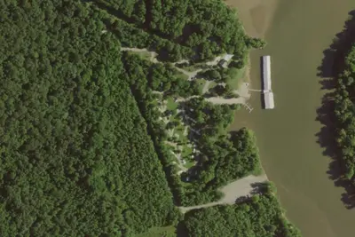
Camp site
Campground · 4.9 mi · Greenville
Sam A. Baker State Park Campground 1
State Park · 10 mi · Des Arc
3 more within 25 mi
Dispersed camping nearby
Free dispersed camping within 19 mi, on public land.
- 15 mi
Camp site
Williamsville, MO · On U.S. Forest Service land · Mark Twain National Forest
- 15 mi
Camp site
Williamsville, MO · On U.S. Forest Service land · Mark Twain National Forest
- 16 mi
Camp site
Williamsville, MO · On U.S. Forest Service land · Mark Twain National Forest
- 16 mi
Camp site
Williamsville, MO · On U.S. Forest Service land · Mark Twain National Forest
- 16 mi
Camp site
Williamsville, MO · On U.S. Forest Service land · Mark Twain National Forest
- 16 mi
Camp site
Williamsville, MO · On U.S. Forest Service land · Mark Twain National Forest
Location and contact
Data from Recreation Information Database (RIDB) / Recreation.gov, Recreation.gov — campground rate cards
Something wrong here? Suggest an edit
Run this campground? Claim the listing