Granite Flat (Utah)
Alpine, Utah · 6,742 ft · In Uinta-Wasatch-Cache National Forest
Photos: Utah Recreation Company
At a glance
6 of 8 facts known · recreation.gov, checked Oct 3, 2026
- Elevation
- 6,742 ft (2,055 m)6,742 ft2,055 m
Loops4
Pick a loop to see its sites.
- BARRACKS, Area B7 sites7 standard · up to 69 ft
- MESS HALL, Area B4 sites4 standard · up to 45 ft
- SPIKE CAMP. Area B15 sites11 standard · 4 tent only · up to 50 ft
- TREE ARMY, Area A23 sites23 standard · up to 60 ft
Other areas
From recreation.gov's site list, Oct 10, 2026: 7 staff entries left out. Loop names are trimmed and merged.
How we name loops
“S&P” is a staff entry, not a campsite, and is left out.
Amenities
From OpenStreetMap, Overture Maps Foundation — Places, Recreation.gov, Recreation.gov — campground rate cards, USDA Forest Service — Recreation Opportunities, USFS INFRA Recreation Sites · Correct
- Campfires allowed
- Campfires allowed
- Caravan / RV sites
- Drinking water
- Tent sites
- Toilets
- Hours (jun-oct 00 00-24 00; nov-may off)
From OpenStreetMap, Overture Maps Foundation — Places, Recreation.gov, Recreation.gov — campground rate cards, USDA Forest Service — Recreation Opportunities, USFS INFRA Recreation Sites
You could be the first camper hereYou could be the first camper on this page
Stayed here? Share what the next camper should know.
Free account · no email needed to browse
About
Overview
Granite Flat Campground is located a short distance up scenic American Fork Canyon, less than a mile from Tibble Fork Reservoir. Visitors enjoy fishing, canoeing and exploring local trails.Recreation
Nearby Tibble Fork and Silver Flat Reservoirs offer canoeing, kayaking and fishing for rainbow, brook and brown trout. A portion of the north shore at Tibble Fork is accessible. Both reservoirs are open only to non-motorized watercraft. Scuba divers frequent Tibble Fork's south shore.
From OpenStreetMap, Overture Maps Foundation — Places, Recreation.gov, Recreation.gov — campground rate cards, USDA Forest Service — Recreation Opportunities, and USFS INFRA Recreation Sites · · Edit
Cell service
Report signal- VerizonNo coverage on FCC map
- AT&T4G LTE
- T-MobileNo coverage on FCC map
Cell service at Granite Flat (Utah): FCC map Dec 2025
Weather
National Weather Service
- TueIsolated T-storms, 87% chance of rain47°26°
- WedScattered Rain Showers, 34% chance of rain51°27°
- ThuSunny, 4% chance of rain60°28°
- FriSunny63°32°
- SatSunny64°34°
Nearby camping
SeeSee all on the map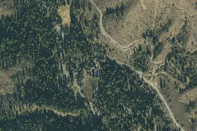
Stonemason
Campground · 0.3 mi · Alpine
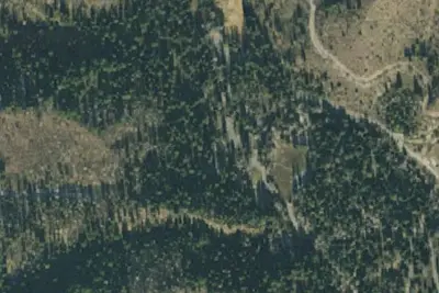
Sandwagon
Campground · 0.3 mi · Alpine
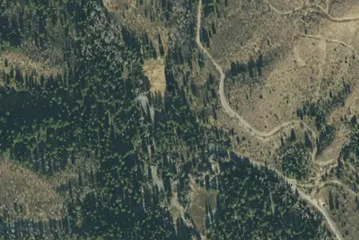
Handshaker
Campground · 0.3 mi · Alpine
3 more within 25 mi
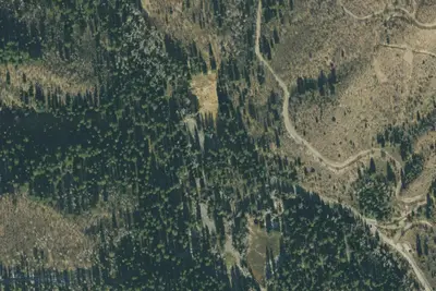
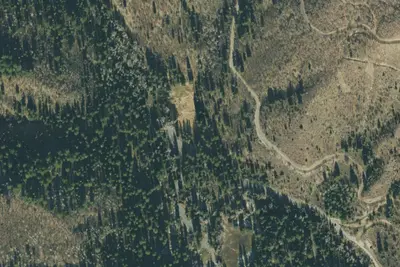
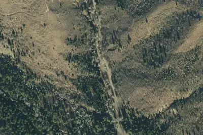
5 OpenStreetMap entries in Alpine share one park. They may be individual sites of a single campground. Suggest a merge
Dispersed camping nearby
Free dispersed camping within 19 mi, on public land.
- 2.5 mi
Camp site
Alta, UT · On U.S. Forest Service land · Uinta National Forest
- 3.1 mi
Camp site
Alta, UT · On U.S. Forest Service land · Uinta National Forest
- 3.3 mi
Camp site
Sundance, UT · On U.S. Forest Service land · Uinta National Forest
- 3.4 mi
Camp site
Sundance, UT · On U.S. Forest Service land · Uinta National Forest
- 3.5 mi
Camp site
Sundance, UT · On U.S. Forest Service land · Uinta National Forest
- 3.6 mi
Camp site
Sundance, UT · On U.S. Forest Service land · Uinta National Forest
Location and contact
Data from OpenStreetMap, Overture Maps Foundation — Places, Recreation Information Database (RIDB) / Recreation.gov, Recreation.gov — campground rate cards, USDA Forest Service — Recreation Opportunities, USFS INFRA Recreation Sites
Something wrong here? Suggest an edit
Run this campground? Claim the listing