Goodenough Creek Campground
McCammon, Idaho · 5,509 ft
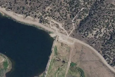
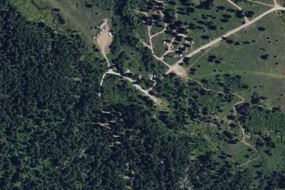
Photos: USGS / USDA NAIP
At a glance
4 of 8 facts known · OpenStreetMap, checked Oct 3, 2026
- Elevation
- 5,509 ft (1,679 m)5,509 ft1,679 m
- Land
- Pocatello Field Office
Bureau of Land Management
Amenities
From BLM National Recreation Sites & Facilities, OpenStreetMap, Overture Maps Foundation — Places, Recreation.gov · Correct
- Caravan / RV sites
- Tent sites
From BLM National Recreation Sites & Facilities, OpenStreetMap, Overture Maps Foundation — Places, Recreation.gov
You could be the first camper hereYou could be the first camper on this page
Stayed here? Share what the next camper should know.
Free account · no email needed to browse
About
Campground rules and regulations are posted at the site. There are motorized and non-motorized trails leading to the Caribou – Targhee National Forest trail system.
Campsites: 10 developed sites: 5 are restricted to tent camping and 5 of which are designed for RVs/trailers and tents. At this time, and there is not a reservation system in place for the campsites. Campsites are on a first come first serve basis.
From BLM National Recreation Sites & Facilities, OpenStreetMap, Overture Maps Foundation — Places, and Recreation.gov · · Edit
Good to know
- Stay limit: 14 Days
Cell service
Report signal- Verizon4G LTE
- AT&T5G · 4G LTE
- T-Mobile5G · 4G LTE
Cell service at Goodenough Creek Campground: FCC map Dec 2025
Weather
National Weather Service
- WedSunny, 1% chance of rain52°35°
- ThuSunny62°36°
- FriSunny65°38°
- SatSunny63°40°
- SunSunny63°42°
Nearby camping
SeeSee all on the map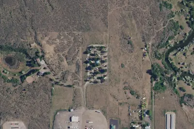
McCammon RV Park
RV Park · 4.2 mi · McCammon
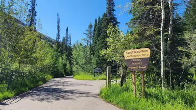
Scout Mountain Campground
Public Land · 4.5 mi · Pocatello
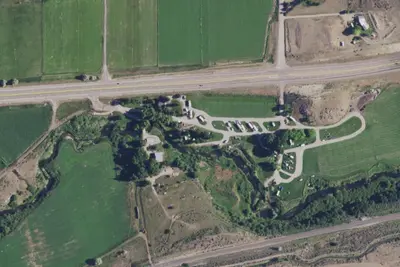
Crystal Springs Campground
Campground · 6.9 mi · McCammon
3 more within 25 mi
Location and contact
Data from BLM National Recreation Sites & Facilities, OpenStreetMap, Overture Maps Foundation — Places, Recreation Information Database (RIDB) / Recreation.gov
Something wrong here? Suggest an edit
Run this campground? Claim the listing