Gates of Lodore Campground
Maybell-Powder Wash, Colorado · 5,344 ft · In Dinosaur National Monument
Photos: NPS
Photos taken nearby
From Wikimedia Commons, taken close to this campground — not necessarily pictures of it.
At a glance
4 of 8 facts known · OpenStreetMap, checked Oct 3, 2026
- Elevation
- 5,344 ft (1,629 m)5,344 ft1,629 m
- Land
- Dinosaur National Monument
National Park Service
Other campgrounds in Dinosaur National Monument 9
Nearest first. Every place inside the park's boundary.
- Gates of Lodore Campground$12–$14 a night · Reserve on Recreation.gov0.2 mi
- Rippling Brook River Camp 1Campground · facts not yet known11 mi
- Echo Park Campground3 loops · Echo Park Campground Group Site, Echo Park Individual, Individual Sites · 22 sites · $12–$14 a night · Reserve on Recreation.gov15 mi
- Rainbow Park Campground4 sites · $6–$12 a night22 mi
- Rainbow Park Campground$12 a night · Reserve on Recreation.gov22 mi
- Split Mountain CampgroundFee charged27 mi
Also in the park: Group area: Split Mountain Group Campground 27 mi · 34 backcountry and High Sierra camps
Open the park pageAmenities
From National Park Service — campgrounds, OpenStreetMap, Recreation.gov · Correct
- Caravan / RV sites
From National Park Service — campgrounds, OpenStreetMap, Recreation.gov
You could be the first camper hereYou could be the first camper on this page
Stayed here? Share what the next camper should know.
Free account · no email needed to browse
About
Gates of Lodore Campground is located on the Green River at the boat ramp at the head of Lodore Canyon. The campground is popular with river rafters who often stay here before launching on the Green River.
There are 19 sites, some with shade. The sites have tables and fire pits or grills. During the summer, there is running water and vault toilets, but no showers. The campsites can accommodate tents and RVs (but there are no hook-ups).
From National Park Service — campgrounds, OpenStreetMap, and Recreation.gov · Edit
Cell service
Report signal- VerizonNo coverage on FCC map
- AT&T4G LTE
- T-MobileNo coverage on FCC map
Cell service at Gates of Lodore Campground: FCC map Dec 2025
Weather
National Weather Service
- TueMostly Cloudy, 5% chance of rain57°37°
- WedRain Showers, 77% chance of rain53°38°
- ThuMostly Sunny, 14% chance of rain55°29°
- FriSunny61°32°
- SatSunny, 1% chance of rain63°36°
Nearby camping
SeeSee all on the mapOutside the park, nearest first.
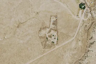
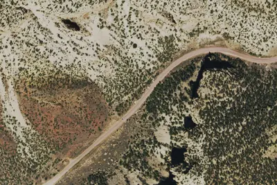
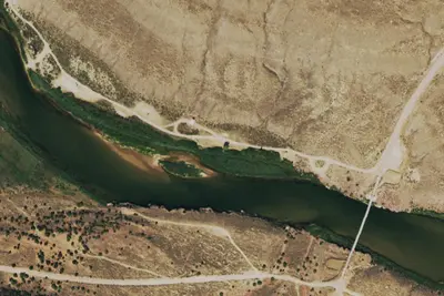
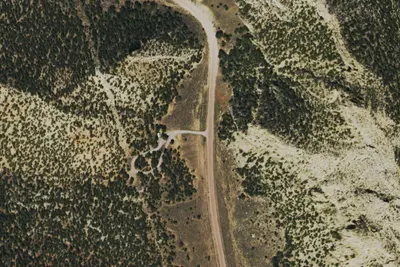
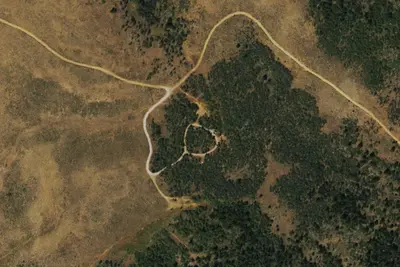
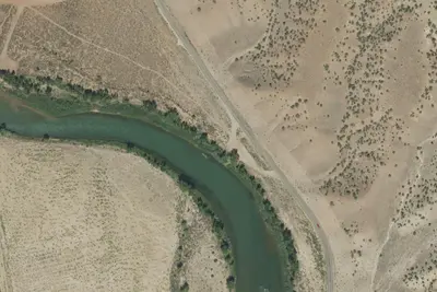
Dispersed camping nearby
Free dispersed camping within 19 mi, on public land.
- 2.3 mi
Wade and Curtis River Camp
Maybell-Powder Wash, CO · On National Park Service land · Dinosaur National Monument
- 7.0 mi
Pot Creek River Camp 1
Maybell-Powder Wash, CO · On National Park Service land · Dinosaur National Monument
- 7.1 mi
Pot Creek River Camp 2
Maybell-Powder Wash, CO · On National Park Service land · Dinosaur National Monument
- 7.7 mi
Kolb River Camp
Maybell-Powder Wash, CO · On National Park Service land · Dinosaur National Monument
- 9.5 mi
Triplet River Camp
Maybell-Powder Wash, CO · On National Park Service land · Dinosaur National Monument
- 11 mi
Irish Canyon
Maybell-Powder Wash, CO · On Bureau of Land Management land · Little Snake Field Office
Location and contact
Data from National Park Service — campgrounds (NPS Data API), OpenStreetMap, Recreation Information Database (RIDB) / Recreation.gov
Something wrong here? Suggest an edit
Run this campground? Claim the listing