Fuchs House
Williamsville, Missouri · 407 ft · In Mark Twain National Forest
Photos: Mark Twain National Forest
At a glance
5 of 8 facts known · recreation.gov, checked Oct 10, 2026
- Elevation
- 407 ft (124 m)407 ft124 m
Sites1
Fuchs House lists no loops, so its sites are listed here. Pick a site to see its details.
All 1 shown · by site number
From recreation.gov's site list, Oct 10, 2026.
Amenities
From Recreation.gov, Recreation.gov — campground rate cards · Correct
- Campfires allowed
From Recreation.gov, Recreation.gov — campground rate cards
You could be the first camper hereYou could be the first camper on this page
Stayed here? Share what the next camper should know.
Free account · no email needed to browse
About
Overview
In the late 1930s, Rudolph Fuchs built a five bedroom concrete and native stone house for his family, and also built the present wheel house to produce electricity for his needs. Power was obtained by building a dam in a semi-circle below a large spring forming a small pond. The water was to pour through a chute on the wheel to produce electricity; however, electricity arrived to the site before the wheel ever needed to do its job. The area had an undershot wheel providing power to a grist mill in the late 19th century.Recreation
The Black River boasts bass, sunfish, walleye and catfish. Many anglers fish from boats, but others fish from the riverbanks. Canoeing and kayaking is also possible on the river. Various day hikes within the Markham Springs Trail System are accessible from the campground. Eagle Bluff Trail is a one and a half mile loop along the river, where birding and wildlife viewing are favorite pastimes. The day use area has a two-acre, 20 foot deep mill pond that dates back to the 1800s, several picnic sites, open fields; river access for boating, fishing and float tubes and canoes; and short hiking trails that provide views of the river, the pond, the springs and the uplands.Facilities
From Recreation.gov and Recreation.gov — campground rate cards · · Edit
Cell service
Report signal- VerizonNo coverage on FCC map
- AT&T4G LTE
- T-MobileNo coverage on FCC map
Cell service at Fuchs House: FCC map Dec 2025
Weather
National Weather Service
- WedSlight Chance Showers And Thunderstorms then Showers And Thunderstorms, 78% chance of rain85°66°
- ThuChance Showers And Thunderstorms, 39% chance of rain88°52°
- FriSlight Chance Rain Showers then Mostly Sunny, 21% chance of rain63°36°
- SatSunny63°35°
- SunSunny68°43°
Nearby camping
SeeSee all on the map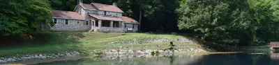
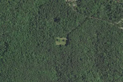
Markham Springs
Public Land · 0.3 mi · Williamsville
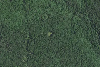
Camp site
Dispersed · 3.6 mi · Williamsville
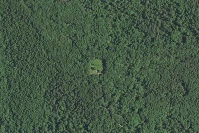
Camp site
Campground · 4.2 mi · Ellsinore
3 more within 25 mi
5 OpenStreetMap entries in Williamsville share one park. They may be individual sites of a single campground. Suggest a merge
Dispersed camping nearby
Free dispersed camping within 19 mi, on public land.
- 3.6 mi
Camp site
Williamsville, MO · On U.S. Forest Service land · Mark Twain National Forest
- 5.2 mi
Camp site
Williamsville, MO · On U.S. Forest Service land · Mark Twain National Forest
- 6.4 mi
Camp site
Williamsville, MO · On U.S. Forest Service land · Mark Twain National Forest
- 6.6 mi
Camp site
Williamsville, MO · On U.S. Forest Service land · Mark Twain National Forest
- 6.9 mi
Camp site
Williamsville, MO · On U.S. Forest Service land · Mark Twain National Forest
- 7.0 mi
Camp site
Williamsville, MO · On U.S. Forest Service land · Mark Twain National Forest
Location and contact
Data from Recreation Information Database (RIDB) / Recreation.gov, Recreation.gov — campground rate cards
Something wrong here? Suggest an edit
Run this campground? Claim the listing