Fr 3163 East Fork Hyalite Creek 046
South Glastonbury, Montana · 6,972 ft
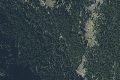
Aerial view · USGS / USDA NAIP · Public domain · source
At a glance
3 of 8 facts known · Forest Service data, checked Oct 3, 2026
- Elevation
- 6,972 ft (2,125 m)6,972 ft2,125 m
- Land
- Gallatin National Forest
U.S. Forest Service
Amenities
You could be the first camper hereYou could be the first camper on this page
Stayed here? Share what the next camper should know.
Free account · no email needed to browse
About
FR 3163 EAST FORK HYALITE CREEK 046 (Camping Area)
From USFS INFRA Recreation Sites, USDA National Agriculture Imagery Program (NAIP) — Aerial views, and Wikimedia Commons & Wikidata — Campground and Park Photos · Edit
Cell service
Report signalFCC map: no coverage reported
- VerizonNo coverage on FCC map
- AT&TNo coverage on FCC map
- T-MobileNo coverage on FCC map
Cell service at Fr 3163 East Fork Hyalite Creek 046: FCC map Sep 2026
Weather
National Weather Service
- MonSunny57°39°
- TueMostly Sunny then Slight Chance Light Rain, 20% chance of rain55°38°
- WedMostly Sunny, 10% chance of rain56°41°
- ThuMostly Sunny, 11% chance of rain57°37°
- FriRain And Snow, 96% chance of rain39°24°
Nearby camping
SeeSee all on the map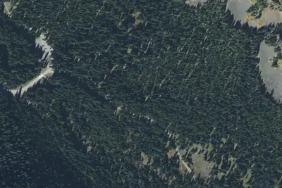
Fr 3163 East Fork Hyalite Creek 045
Dispersed · 470 ft · South Glastonbury
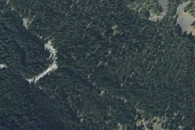
Fr 3163 East Fork Hyalite Creek 044
Dispersed · 0.1 mi · South Glastonbury
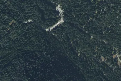
Fr 3163 East Fork Hyalite Creek 042
Dispersed · 0.2 mi · South Glastonbury
3 more within 25 mi
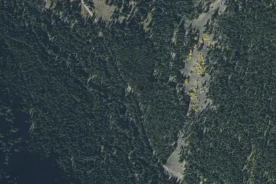
Nearby
The closest of each, in a straight line from here.
Location and contact
Data from USFS INFRA Recreation Sites, USGS / USDA National Agriculture Imagery Program (NAIP) — Aerial views, Wikimedia Commons & Wikidata — Campground and Park Photos
Something wrong here? Suggest an edit
Run this campground? Claim the listing