Fourth of July Camp
Pierce-Headquarters, Idaho · 2,451 ft
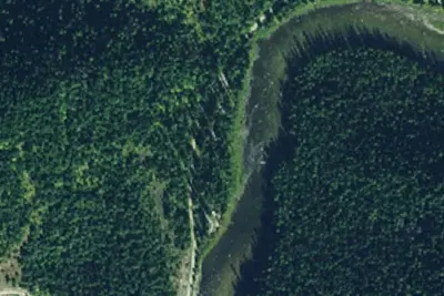
Aerial view · USGS / USDA NAIP · Public domain · source
Wildfire 10 mi NE: Moose Mountain, 5,832 acres, 90% contained
At a glance
3 of 8 facts known · Forest Service data, checked Oct 3, 2026
- Elevation
- 2,451 ft (747 m)2,451 ft747 m
- Land
- Clearwater National Forest
U.S. Forest Service
Amenities
You could be the first camper hereYou could be the first camper on this page
Stayed here? Share what the next camper should know.
Free account · no email needed to browse
About
Home to yet another one of our glorious wooden suspension pack bridges, at the junction of FS Road 250 and the Fourth of July pack bridge, the Fourth of July Trailhead offers a few dispersed campsites and many breathtaking views. Visitors traveling the Windy Ridge Trail will experience beautiful scenery and views into the 1910 Great Burn areas and the Lolo Motorway. The Idaho Centennial Trail also shares a portion of the trail between trails 531 and 634.
Fees: No fees are required for this site
From USFS INFRA Recreation Sites · Edit
Cell service
Report signalFCC map: no coverage reported
- VerizonNo coverage on FCC map
- AT&TNo coverage on FCC map
- T-MobileNo coverage on FCC map
Cell service at Fourth of July Camp: FCC map Dec 2025
Weather
National Weather Service
- WedAreas Of Frost then Mostly Sunny, 3% chance of rain58°37°
- ThuAreas Of Frost then Sunny68°38°
- FriSunny72°44°
- SatSunny, 2% chance of rain67°40°
- SunSunny, 1% chance of rain63°43°
Nearby camping
SeeSee all on the map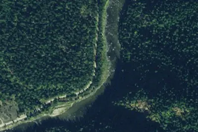
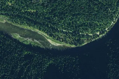
Dispersed camping nearby
Free dispersed camping within 19 mi, on public land.
Location and contact
Data from USFS INFRA Recreation Sites
Something wrong here? Suggest an edit
Run this campground? Claim the listing