Fool Hollow Lake Recreation Area Campground
Show Low, Arizona · 6,306 ft · In Apache-Sitgreaves National Forest
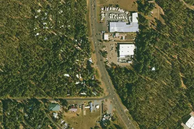
Aerial view · USGS / USDA NAIP · Public domain · source
At a glance
3 of 8 facts known · Forest Service data, checked Oct 3, 2026
- Elevation
- 6,306 ft (1,922 m)6,306 ft1,922 m
- Land
- Sitgreaves National Forest
U.S. Forest Service
Amenities
You could be the first camper hereYou could be the first camper on this page
Stayed here? Share what the next camper should know.
Free account · no email needed to browse
About
Recent development of Fool Hollow Lake Recreation Area has created a top of the line experience. Campsites are located in several loops that wind amongst ponderosa pine. Many campsites have a view of the 150 acre lake and wildlife islands. The predominant tree species is ponderosa pine with juniper and pinyon pine scattered about. A newly constructed day use area offers five large group picnic ramadas and two playgrounds.
From OpenStreetMap, Recreation.gov, USDA Forest Service — Recreation Opportunities, and USFS INFRA Recreation Sites · Edit
Cell service
Report signal- Verizon5G · 4G LTE
- AT&TNo coverage on FCC map
- T-MobileNo coverage on FCC map
Cell service at Fool Hollow Lake Recreation Area Campground: FCC map Dec 2025
Weather
National Weather Service
- WedSunny, 4% chance of rain57°32°
- ThuSunny61°40°
- FriSunny, 5% chance of rain64°39°
- SatSlight Chance Rain Showers then Slight Chance Showers And Thunderstorms, 23% chance of rain58°38°
- SunSlight Chance Rain Showers then Mostly Sunny, 15% chance of rain61°40°
Nearby camping
SeeSee all on the map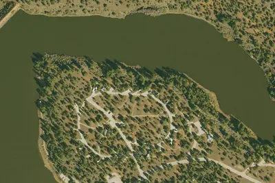
Cinnamon Teal 19
RV Park · 0.5 mi · Show Low
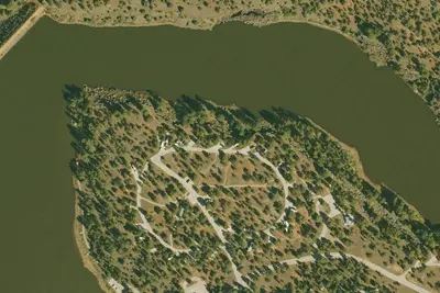
Cinnamon Teal 20
RV Park · 0.5 mi · Show Low
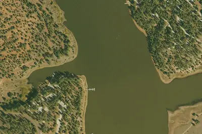
Fool Hollow Lake Recreation Area
State Park · 0.6 mi · Show Low
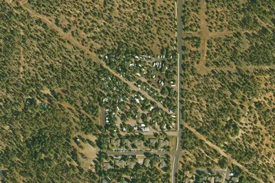
3 more within 25 mi
Location and contact
Data from OpenStreetMap, Recreation Information Database (RIDB) / Recreation.gov, USDA Forest Service — Recreation Opportunities, USFS INFRA Recreation Sites
Something wrong here? Suggest an edit
Run this campground? Claim the listing