Flag Point Lookout
Sportsmans Park, Oregon · 5,558 ft · In Mt. Hood National Forest
Photos: USFS
Inside a wildfire's outline: Grasshopper, 93,972 acres, 98% contained
At a glance
4 of 8 facts known · recreation.gov, checked Sep 24, 2026
- Elevation
- 5,558 ft (1,694 m)5,558 ft1,694 m
Amenities
You could be the first camper hereYou could be the first camper on this page
Stayed here? Share what the next camper should know.
Free account · no email needed to browse
About
Overview
Flag Point Lookout is situated on the eastern side of Mt. Hood and is surrounded by the Badger Creek Wilderness, the lookout boasts a spectacular panorama view of snow-covered treetops and rugged Cascade peaks. It provides access to a variety of recreational opportunities, including fishing, hiking and wildlife viewing, as well as winter sports. During summer driving conditions the lookout can be accessed by driving, 4WD or AWD is highly recommended. During winter driving conditions, the lookout can only be accessed by skiing, snowmobiling or snowshoeing either 10 or 17 miles from a parking area at Billybob Sno-park or Little John Sno-park. Winter driving conditions can occur in early fall and persist late into the spring.
A Northwest Forest Pass is required for the parking area at Billy Bob Sno-park, annual or day passes can be purchased in person at the Hood River Ranger Station or online at https://www.discovernw.org/annual-northwest-forest-pass. An ODOT Sno-park pass is required for parking at Little John Sno-park and can be purchased at local vendors or online at https://www.oregon.gov/ODOT/DMV/pages/vehicle/sno_park_permits.aspx.
From Recreation.gov, Recreation.gov — campground rate cards, and USDA Forest Service — Recreation Opportunities · · Edit
Cell service
Report signal- Verizon4G LTE
- AT&T5G · 4G LTE
- T-Mobile5G · 4G LTE
Cell service at Flag Point Lookout: FCC map Dec 2025
Weather
National Weather Service
- WedMostly Sunny, 5% chance of rain60°38°
- ThuSunny57°39°
- FriSunny64°42°
- SatPartly Sunny, 7% chance of rain52°31°
- SunMostly Sunny, 2% chance of rain50°34°
Nearby camping
SeeSee all on the map
Fifteenmile Campground
Public Land · 2.3 mi · Sportsmans Park
Small campsite
Campground · 4.0 mi · Government Camp
Small Campsite
Campground · 4.1 mi · Government Camp
3 more within 25 mi
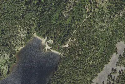
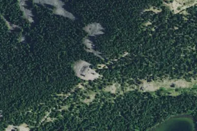
6 OpenStreetMap entries in Sportsmans Park share one park. They may be individual sites of a single campground. Suggest a merge
Dispersed camping nearby
Free dispersed camping within 19 mi, on public land.
- 7.6 mi
Camp site
Government Camp, OR · On U.S. Forest Service land · Mt. Hood National Forest
- 9.2 mi
Camp site
Government Camp, OR · On U.S. Forest Service land · Mt. Hood National Forest
- 9.4 mi
Camp site
Government Camp, OR · On U.S. Forest Service land · Mt. Hood National Forest
- 10 mi
Camp site
Government Camp, OR · On U.S. Forest Service land · Mt. Hood National Forest
- 10 mi
Camp site
Government Camp, OR · On U.S. Forest Service land · Mt. Hood National Forest
- 10 mi
Camp site
Government Camp, OR · On U.S. Forest Service land · Mt. Hood National Forest
Location and contact
Data from Recreation Information Database (RIDB) / Recreation.gov, Recreation.gov — campground rate cards, USDA Forest Service — Recreation Opportunities
Something wrong here? Suggest an edit
Run this campground? Claim the listing