Fish Creek Group Use
Grangeville, Idaho · 4,984 ft · In Nez Perce-Clearwater National Forests
Photos: Forest Service
At a glance
3 of 8 facts known · recreation.gov, checked Sep 24, 2026
- Elevation
- 4,984 ft (1,519 m)4,984 ft1,519 m
Sites1
Fish Creek Group Use lists no loops, so its sites are listed here. Pick a site to see its details.
All 1 shown · by site number
From recreation.gov's site list, Oct 10, 2026.
Amenities
You could be the first camper hereYou could be the first camper on this page
Stayed here? Share what the next camper should know.
Free account · no email needed to browse
About
Overview
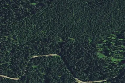
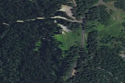
Fish Creek Group Camp is located a few miles from the developed Fish Creek Campground. The primitive group site is a horse-friendly camp that can accommodate up to 75 people. It is also known as "Eagle's Nest," "Girl Scout Camp" and "Fish Creek Dispersed Site."Recreation
The Fish Creek Cross Country Trail begins at nearby Fish Creek Campground. This 7-mile multi-use loop is open to hikers, mountain bikers, horseback riders and off-road vehicle enthusiasts, and offers scenic views of Gospel Mountain, Pilot Rock and Buffalo Hump.Facilities
From OpenStreetMap, Recreation.gov, Recreation.gov — campground rate cards, and USDA Forest Service — Recreation Opportunities · · Edit
Cell service
Report signal- Verizon4G LTE
- AT&T4G LTE
- T-MobileNo coverage on FCC map
Cell service at Fish Creek Group Use: FCC map Dec 2025
Weather
National Weather Service
- TueSunny44°34°
- WedMostly Sunny53°35°
- ThuSunny59°38°
- FriSunny64°44°
- SatSunny62°41°
Nearby camping
SeeSee all on the map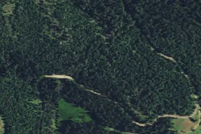
Fish Creek Group Use Campground
Public Land · 0.4 mi · Grangeville
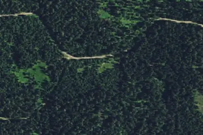
Cw4600rd-001
Dispersed · 0.9 mi · Grangeville
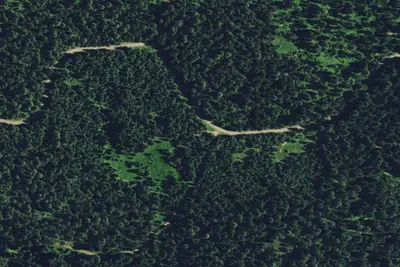
Cw4600crd-001
Dispersed · 0.9 mi · Grangeville
3 more within 25 mi
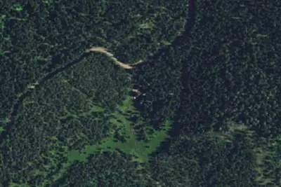
Dispersed camping nearby
Free dispersed camping within 19 mi, on public land.
Location and contact
Data from OpenStreetMap, Recreation Information Database (RIDB) / Recreation.gov, Recreation.gov — campground rate cards, USDA Forest Service — Recreation Opportunities
Something wrong here? Suggest an edit
Run this campground? Claim the listing