Farm Well Horse Camp / Trailhead
Silver Lake, Oregon · 5,062 ft
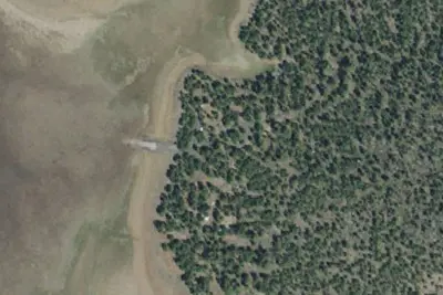
Aerial view · USGS / USDA NAIP · Public domain · source
At a glance
3 of 8 facts known · Forest Service data, checked Oct 3, 2026
- Elevation
- 5,062 ft (1,543 m)5,062 ft1,543 m
- Land
- Fremont National Forest
U.S. Forest Service
Amenities
You could be the first camper hereYou could be the first camper on this page
Stayed here? Share what the next camper should know.
Free account · no email needed to browse
About
Farm Well Horse Camp is located along the Fremont National Recreation Trail, and serves as a jumping off point for trail users, and campers, alike. Farm Well offers five campsites, picnic tables, camp fire rings, one vaulted toilet, horse corrals, and room to maneuver a horse trailer. The forest-mountain setting affords views of basin and range land as well as vistas of Hager Mountain and Winter Rim. The cone-shaped single peak dominates the landscape and the look-out tower is visible atop the 7,200 foot pinnacle. Wildlife that frequents the area surrounding Farm Well and connecting trails include deer, elk, songbirds, and numerous species of raptors. It's about a three mile ride from Farm Well to the Hager Mountain Lookout. This summit rewards riders with a panoramic view, including the Cascades to the west and Mount Shasta to the south. You can keep riding to Thompson Reservoir (five more miles), a popular fishing destination. Trout are stocked in the reservoir on a regular basis. This reservoir was created in 1921 and provides water for more than 2,700 acres of irrigated land. There is no potable water on site, however, two ponds provide water for stock.
Fees: No fees are required for this site
From USFS INFRA Recreation Sites · Edit
Cell service
Report signal- Verizon4G LTE
- AT&T5G · 4G LTE
- T-Mobile4G LTE
Cell service at Farm Well Horse Camp / Trailhead: FCC map Dec 2025
Weather
National Weather Service
- WedSunny, 1% chance of rain62°37°
- ThuSunny67°36°
- FriSunny73°44°
- SatMostly Sunny67°35°
- SunSunny64°36°
Nearby camping
SeeSee all on the map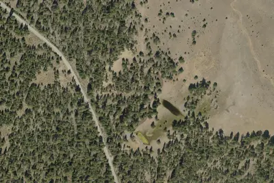
Farm Well Horse Camp
Dispersed · 0.1 mi · Silver Lake
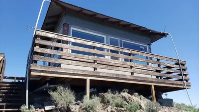
Hager Mountain Lookout
Public Land · 3.0 mi · Silver Lake
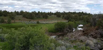
Duncan Reservoir Campground
Public Land · 3.5 mi · Silver Lake
3 more within 25 mi
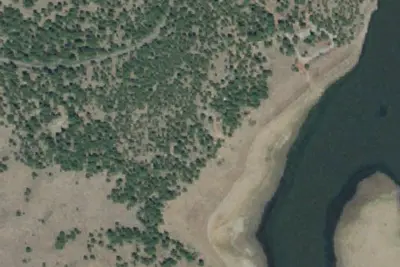
3 OpenStreetMap entries in Silver Lake share one park. They may be individual sites of a single campground. Suggest a merge
Dispersed camping nearby
Free dispersed camping within 19 mi, on public land.
Location and contact
Data from USFS INFRA Recreation Sites
Something wrong here? Suggest an edit
Run this campground? Claim the listing