Fallen Leaf Campground
South Lake Tahoe, California · 6,335 ft · In Lake Tahoe Basin Management Unit
Photos: Fani Garagouni, Share the Experience
Wildfire 42 mi N: Bull, 1,529 acres, 98% contained
At a glance
5 of 8 facts known · recreation.gov, checked Sep 24, 2026
- Elevation
- 6,335 ft (1,931 m)6,335 ft1,931 m
Loops3
Pick a loop to see its sites.
- AREA FALLEN LEAF CAMPGROUND187 sites187 standard · up to 187 ft
- HOST10 sites10 standard · up to 140 ft
- Office1 site1 standard
Other areas
From recreation.gov's site list, Oct 10, 2026: 4 staff entries left out. Loop names are trimmed and merged.
Amenities
From OpenStreetMap, Overture Maps Foundation — Places, Recreation.gov, Recreation.gov — campground rate cards, USDA Forest Service — Recreation Opportunities, USFS INFRA Recreation Sites · Correct
- ADA accessible
- Campfires allowed
From OpenStreetMap, Overture Maps Foundation — Places, Recreation.gov, Recreation.gov — campground rate cards, USDA Forest Service — Recreation Opportunities, USFS INFRA Recreation Sites
You could be the first camper hereYou could be the first camper on this page
Stayed here? Share what the next camper should know.
Free account · no email needed to browse
About
Overview
Fallen Leaf Campground is situated on the north shore of Fallen Leaf Lake and adjacent to Taylor Creek. The south shore of Lake Tahoe is less than a mile away. The campground features 206 sites that include six yurts and standard tent and RV sites. The campground is typically open from mid-May through mid-October. Fallen Leaf Lake is less crowded and not as well-known as Lake Tahoe, making this a great base camp for exploring the many sights and recreational activities in the area. It's a popular campground and tends to fill quickly.
Recreation
Both Fallen Leaf Lake and Lake Tahoe offer opportunities for non-motorized and motorized boating, tubing, waterskiing and windsurfing. Fishing is available at both
From OpenStreetMap, Overture Maps Foundation — Places, Recreation.gov, Recreation.gov — campground rate cards, USDA Forest Service — Recreation Opportunities, and USFS INFRA Recreation Sites · · Edit
Cell service
Report signal- Verizon4G LTE
- AT&T5G · 4G LTE
- T-MobileNo coverage on FCC map
Cell service at Fallen Leaf Campground: FCC map Dec 2025
Weather
National Weather Service
- TueSunny51°32°
- WedSunny64°38°
- ThuSunny64°38°
- FriSunny68°41°
- SatSunny67°39°
Nearby camping
SeeSee all on the map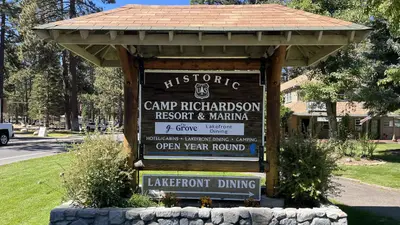
Eagles Nest at Camp Richardson Resort
Public Land · 0.6 mi · South Lake Tahoe
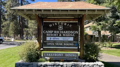
Badgers Den at Camp Richardson Resort
Public Land · 0.6 mi · South Lake Tahoe
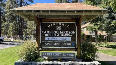
RV Village Campground at Camp Richardson Resort
Public Land · 0.6 mi · South Lake Tahoe
3 more within 25 mi
Dispersed camping nearby
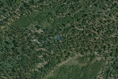
Free dispersed camping within 19 mi, on public land.
- 4.4 mi
Camp site
South Lake Tahoe, CA · On U.S. Forest Service land · Eldorado National Forest
- 9.1 mi
Camp site
Meyers, CA · On U.S. Forest Service land · Eldorado National Forest
- 9.2 mi
Camp site
Meyers, CA · On U.S. Forest Service land · Eldorado National Forest
- 9.2 mi
Camp site
Meyers, CA · On U.S. Forest Service land · Eldorado National Forest
- 9.4 mi
Camp site
Meyers, CA · On U.S. Forest Service land · Eldorado National Forest
- 9.4 mi
Camp site
Meyers, CA · On U.S. Forest Service land · Eldorado National Forest
Location and contact
Data from OpenStreetMap, Overture Maps Foundation — Places, Recreation Information Database (RIDB) / Recreation.gov, Recreation.gov — campground rate cards, USDA Forest Service — Recreation Opportunities, USFS INFRA Recreation Sites
Something wrong here? Suggest an edit
Run this campground? Claim the listing