Esterbrook Campground
Esterbrook, Wyoming · 6,234 ft · In Medicine Bow-Routt NFs & Thunder Basin NG
Photos: MBRTB
At a glance
6 of 8 facts known · recreation.gov, checked Oct 3, 2026
- Elevation
- 6,234 ft (1,900 m)6,234 ft1,900 m
Sites12
Esterbrook Campground lists no loops, so its sites are listed here. Pick a site to see its details.
- 001Group · up to 25 people30 ft
- 002Standard · up to 10 people
- 003Standard · up to 10 people29 ft
- 004Standard · up to 10 people28 ft
- 005Standard · up to 10 people10 ft
- 006Standard · up to 10 people30 ft
- 007Standard · up to 10 people
- 008Standard · up to 16 people
- 009Standard · up to 10 people45 ft
- 010Standard · up to 10 people
Showing 10 of 12 · by site number
From recreation.gov's site list, Oct 10, 2026.
Amenities
From OpenStreetMap, Recreation.gov, Recreation.gov — campground rate cards, USDA Forest Service — Recreation Opportunities, USFS INFRA Recreation Sites · Correct
- ADA accessible
- Campfires allowed
- Cell signal reported
- Drinking water
- Toilets
From OpenStreetMap, Recreation.gov, Recreation.gov — campground rate cards, USDA Forest Service — Recreation Opportunities, USFS INFRA Recreation Sites
You could be the first camper hereYou could be the first camper on this page
Stayed here? Share what the next camper should know.
Free account · no email needed to browse
About
Overview
Esterbrook Campground is nestled within a pine forest along a broad ridge north of Laramie Peak. A favorite of both RV and tent campers, it is a terrific jumping-off point for recreating in the Laramie Peak Unit of the Douglas Ranger District. The campground is popular for OHV riding, fishing, hiking, hunting, and mountain biking.
Recreation
The Laramie Peak area in the Medicine Bow National Forest is located in Central Wyoming. The Douglas Ranger District manages the Laramie Peak and Thunder basin National Grasslands areas. Year-round recreation uses include hiking, fishing, hunting, OHV riding, camping, biking and horseback trail riding. Primary access across the district is by I-25 and Highway 59.
From OpenStreetMap, Recreation.gov, Recreation.gov — campground rate cards, USDA Forest Service — Recreation Opportunities, and USFS INFRA Recreation Sites · · Edit
Cell service
Report signal- Verizon4G LTE
- AT&T5G · 4G LTE
- T-Mobile5G · 4G LTE
Cell service at Esterbrook Campground: FCC map Dec 2025
Weather
National Weather Service
- TueChance Rain Showers, 33% chance of rain56°39°
- WedRain Showers, 78% chance of rain44°38°
- ThuLight Rain Likely, 61% chance of rain45°31°
- FriSunny, 1% chance of rain56°41°
- SatSunny67°47°
Nearby camping
SeeSee all on the map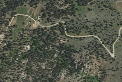
Esterbrook Camp 2
Campground · 0.2 mi · Esterbrook
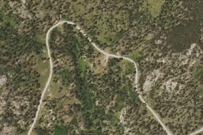
Esterbrook Camp 1
Campground · 0.8 mi · Esterbrook
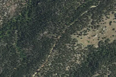
Harris Park Camp 1
Campground · 3.8 mi · Esterbrook
3 more within 25 mi
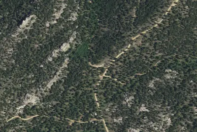
5 OpenStreetMap entries in Esterbrook share one park. They may be individual sites of a single campground. Suggest a merge
Location and contact
Data from OpenStreetMap, Recreation Information Database (RIDB) / Recreation.gov, Recreation.gov — campground rate cards, USDA Forest Service — Recreation Opportunities, USFS INFRA Recreation Sites
Something wrong here? Suggest an edit
Run this campground? Claim the listing