Equestrian Campground
Auberry, California · 1,024 ft
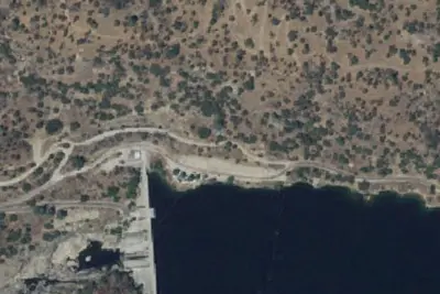
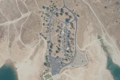
Aerial view · USGS / USDA NAIP · Public domain · source
Wildfire 33 mi N: Dome, 6,788 acres, 95% contained
At a glance
4 of 8 facts known · recreation.gov, checked Oct 3, 2026
- Elevation
- 1,024 ft (312 m)1,024 ft312 m
- Land
- Millerton Lake
Bureau of Reclamation
Amenities
You could be the first camper hereYou could be the first camper on this page
Stayed here? Share what the next camper should know.
Free account · no email needed to browse
About
Nestled by large oak trees and located near the Nuckahee Learning center, the Equestrian Campground offers a large parking area for trailers, and corrals available for horseback riders. A short 1/4 mile bypass trail connects you to the main trail head that leads to the other trails in the management area.
Facilities
From BLM National Recreation Sites & Facilities and Recreation.gov · · Edit
Good to know
- Stay limit: 14 Day camping limit, Day Use 6am-10pm
Cell service
Report signalFCC map: no coverage reported
- VerizonNo coverage on FCC map
- AT&TNo coverage on FCC map
- T-MobileNo coverage on FCC map
Cell service at Equestrian Campground: FCC map Dec 2025
Weather
National Weather Service
- WedSunny79°55°
- ThuSunny85°60°
- FriSunny89°63°
- SatSunny88°61°
- SunSunny86°58°
Nearby camping
SeeSee all on the map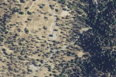
Aholul Group Campground
Public Land · 0.1 mi · Auberry
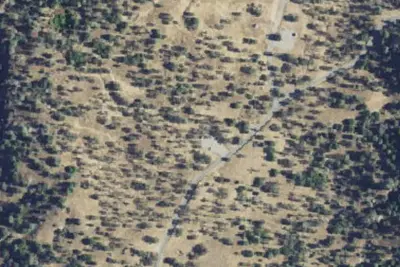
Ya-Gub-Weh-tuh Campground
Public Land · 0.2 mi · Auberry
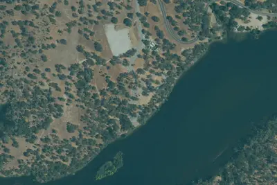
PG&E Campground
Campground · 4.9 mi · Auberry
3 more within 25 mi
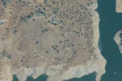
Dispersed camping nearby
Free dispersed camping within 19 mi, on public land.
Location and contact
Data from BLM National Recreation Sites & Facilities, Recreation Information Database (RIDB) / Recreation.gov
Something wrong here? Suggest an edit
Run this campground? Claim the listing