East Twin
Clam Lake, Wisconsin · 1,457 ft · In Chequamegon-Nicolet NF
Wildfire 17 mi NE: Redhouse, 22 acres
At a glance
6 of 8 facts known · recreation.gov, checked Sep 24, 2026
- Elevation
- 1,457 ft (444 m)1,457 ft444 m
Sites10
East Twin lists no loops, so its sites are listed here. Pick a site to see its details.
- 001Standard · accessible · up to 8 people40 ft
- 002Standard · accessible · up to 8 people45 ft
- 003Standard · accessible · up to 8 people25 ft
- 004Standard · accessible · up to 8 people25 ft
- 005Standard · accessible · up to 8 people35 ft
- 006Standard · up to 8 people25 ft
- 007Standard · accessible · up to 8 people35 ft
- 008Standard · accessible · up to 8 people25 ft
- 009Standard · accessible · up to 8 people40 ft
- 010Tent only · up to 8 peopleTents only
All 10 shown · by site number
From recreation.gov's site list, Oct 10, 2026.
Amenities
From OpenStreetMap, Overture Maps Foundation — Places, Recreation.gov, Recreation.gov — campground rate cards, USDA Forest Service — Recreation Opportunities, USFS INFRA Recreation Sites · Correct
- Caravan / RV sites
- Drinking water
- Reservations
- Tent sites
- Toilets
From OpenStreetMap, Overture Maps Foundation — Places, Recreation.gov, Recreation.gov — campground rate cards, USDA Forest Service — Recreation Opportunities, USFS INFRA Recreation Sites
You could be the first camper hereYou could be the first camper on this page
Stayed here? Share what the next camper should know.
Free account · no email needed to browse
About
Overview
Located on a sparkling 110-acre lake, the East Twin Campground is a known family favorite. The area provides access to a beautiful portion of the Chequamegon National Forest in northwestern Wisconsin.Recreation
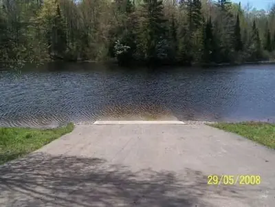
A variety of recreational activities are available, including fishing, boating and swimming on the adjacent lake. A boat ramp is located about a half-mile east of the campground, providing access to East Twin Lake and also features a walk-in portage to West Twin lake which is located just outside the campground. Largemouth bass and pan fish are akin to the body of water, as well as an occasional musky or other freshwater species.
From OpenStreetMap, Overture Maps Foundation — Places, Recreation.gov, Recreation.gov — campground rate cards, USDA Forest Service — Recreation Opportunities, and USFS INFRA Recreation Sites · · Edit
Cell service
Report signal- Verizon4G LTE
- AT&T5G · 4G LTE
- T-Mobile5G · 4G LTE
Cell service at East Twin: FCC map Dec 2025
Weather
National Weather Service
- WedMostly Cloudy55°29°
- ThuMostly Cloudy then Chance Rain Showers, 36% chance of rain55°31°
- FriChance Rain Showers, 49% chance of rain50°25°
- SatSunny59°34°
- SunSunny, 1% chance of rain64°36°
Nearby camping
SeeSee all on the map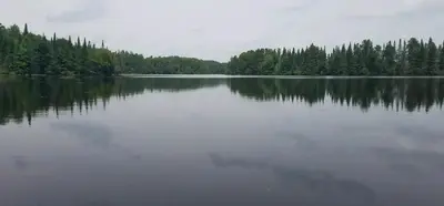
Day Lake
Public Land · 2.6 mi · Clam Lake
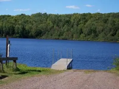
Mineral Lake
Public Land · 7.0 mi · Mellen
Beaver Lake Recreation Area
Public Land · 7.8 mi · Marengo
3 more within 25 mi
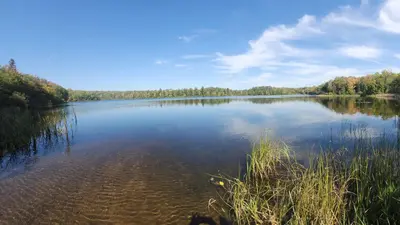
Dispersed camping nearby
Free dispersed camping within 19 mi, on public land.
- 13 mi
Camp site
Cable, WI · On U.S. Forest Service land · Chequamegon National Forest
- 13 mi
Camp site
Cable, WI · On U.S. Forest Service land · Chequamegon National Forest
- 14 mi
Rock Lake East
Cable, WI · On U.S. Forest Service land · Chequamegon National Forest
- 14 mi
Wilson Lake
Cable, WI · On U.S. Forest Service land · Chequamegon National Forest
- 14 mi
Rock Lake North
Cable, WI · On U.S. Forest Service land · Chequamegon National Forest
- 14 mi
Camp site
Cable, WI · On U.S. Forest Service land · Chequamegon National Forest
Location and contact
Data from OpenStreetMap, Overture Maps Foundation — Places, Recreation Information Database (RIDB) / Recreation.gov, Recreation.gov — campground rate cards, USDA Forest Service — Recreation Opportunities, USFS INFRA Recreation Sites
Something wrong here? Suggest an edit
Run this campground? Claim the listing