Duck Harbor Campground
Isle au Haut, Maine · 33 ft · In Acadia National Park
Photos: NPS photo
At a glance
5 of 8 facts known · recreation.gov, checked Sep 24, 2026
- Elevation
- 33 ft (10 m)33 ft10 m
Sites5
Duck Harbor Campground lists no loops, so its sites are listed here. Pick a site to see its details.
From recreation.gov's site list, Oct 10, 2026.
Other campgrounds in Acadia National Park 1
Nearest first. This park is spread out: the closest is 29 miles away.
Amenities
From National Park Service — campgrounds, OpenStreetMap, Overture Maps Foundation — Places, Recreation.gov, Recreation.gov — campground rate cards · Correct
- Backcountry camping
- Tent sites
- Toilets
- Hours (may 15-oct 15 open)
- Reservations (required)
From National Park Service — campgrounds, OpenStreetMap, Overture Maps Foundation — Places, Recreation.gov, Recreation.gov — campground rate cards
You could be the first camper hereYou could be the first camper on this page
Stayed here? Share what the next camper should know.
Free account · no email needed to browse
About
Overview
Duck Harbor campsites are reservable starting on April 1st at 10:00am ET. Duck Harbor Campground is located on Isle au Haut, a rugged island off the coast of Stonington, Maine. Remote and inaccessible to automobiles, Isle au Haut is linked to the mainland by mailboat.
Recreation
Isle au Haut offers excellent hiking. The remoteness of the island provides a quiet experience along primitive trails with many great views of rocky cliffs and coastal scenery. Bicycling is allowed but is very rigorous, on loose rock, and unpaved road. No trail biking. You must bring your own mountain bike. Bicycles can only be unloaded at the Town Dock. No bicycles may be loaded or unloaded at Duck Harbor Landing.Facilities
From National Park Service — campgrounds, OpenStreetMap, Overture Maps Foundation — Places, Recreation.gov, and Recreation.gov — campground rate cards · · Edit
Cell service
Report signal- Verizon4G LTE
- AT&T4G LTE
- T-Mobile5G · 4G LTE
Cell service at Duck Harbor Campground: FCC map Dec 2025
Weather
National Weather Service
- WedPatchy Fog then Partly Sunny, 16% chance of rain66°44°
- ThuSunny56°42°
- FriRain Showers, 99% chance of rain59°42°
- SatSlight Chance Rain Showers, 21% chance of rain49°36°
- SunSunny, 2% chance of rain51°43°
Nearby camping
SeeSee all on the mapOutside the park, nearest first.
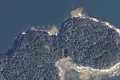
Camp site (Maine Coast Heritage Trust)
Campground · 9.0 mi · Southwest Harbor
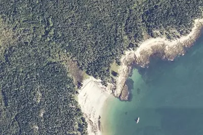
Sand Cove
Campground · 9.3 mi · Southwest Harbor
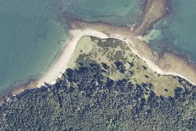
Long Point
Campground · 10 mi · Southwest Harbor
3 more within 25 mi
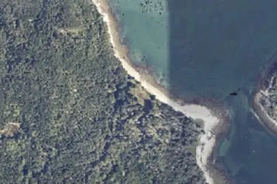
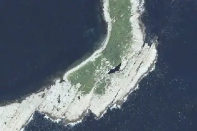
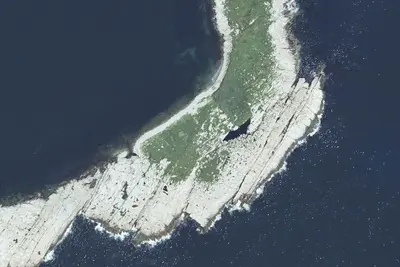
Dispersed camping nearby
Free dispersed camping within 19 mi, on public land.
- 10 mi
Camp site
Vinalhaven, ME · On U.S. Fish and Wildlife Service land · Seal Island National Wildlife Refuge
- 10 mi
Camp site
Vinalhaven, ME · On U.S. Fish and Wildlife Service land · Seal Island National Wildlife Refuge
- 10 mi
Camp site
Vinalhaven, ME · On U.S. Fish and Wildlife Service land · Seal Island National Wildlife Refuge
- 10 mi
Camp site
Vinalhaven, ME · On U.S. Fish and Wildlife Service land · Seal Island National Wildlife Refuge
Location and contact
Data from National Park Service — campgrounds (NPS Data API), OpenStreetMap, Overture Maps Foundation — Places, Recreation Information Database (RIDB) / Recreation.gov, Recreation.gov — campground rate cards
Something wrong here? Suggest an edit
Run this campground? Claim the listing