Dry Lake Campground (CO)
Steamboat Springs, Colorado · 8,271 ft · In Medicine Bow-Routt NFs & Thunder Basin NG
Photos: USFS
At a glance
7 of 8 facts known · recreation.gov, checked Sep 24, 2026
- Elevation
- 8,271 ft (2,521 m)8,271 ft2,521 m
Sites22
Dry Lake Campground (CO) lists no loops, so its sites are listed here. Pick a site to see its details.
- 1Standard · up to 10 people90 ft
- 2Standard · up to 10 people71 ft
- 3Standard · up to 10 people86 ft
- 4Standard · up to 10 people
- 5Standard · up to 10 people
- 6Standard · up to 10 people60 ft
- 7Standard · up to 10 people58 ft
- 8Standard · up to 10 people71 ft
- 9Standard · up to 10 people73 ft
- 10Standard · up to 10 people50 ft
Showing 10 of 22 · by site number
From recreation.gov's site list, Oct 10, 2026.
Amenities
From OpenStreetMap, Overture Maps Foundation — Places, Recreation.gov, Recreation.gov — campground rate cards, USFS INFRA Recreation Sites · Correct
- Campfires allowed
From OpenStreetMap, Overture Maps Foundation — Places, Recreation.gov, Recreation.gov — campground rate cards, USFS INFRA Recreation Sites
You could be the first camper hereYou could be the first camper on this page
Stayed here? Share what the next camper should know.
Free account · no email needed to browse
About
Overview
Dry Lake Trailhead is located off County Road 60 (Buffalo Pass Road) and is near the Dry Lake Campground. This trailhead provides access to both non-motorized and motorized trails. Access for dirt bikes and other recreational vehicles on Buffalo Pass Road. This is a very high-use year-round trailhead and a gateway to exploring the aspens, sub-alpine firs, and wildflowers of the mountains of the Park Range. A vault toilet is provided at the Trailhead. Dry Lake Trailhead is managed by the Hahn’s Peak/Bears Ears Ranger District in Steamboat Springs.
In the summer and shoulder seasons, there is access to multiple hiking trails which are also beginner through advanced mountain bike trails (Panorama, Fiddlehead, Flash of Gold, Spring Creek, Spring Roll, BTR, Soda, Buffalo Billy's, and several others) and single-track dirt-bike trails (Great White Buffalo and upper Flash of Gold). Continental Divide Trail heading south from the top of Buffalo Pass is open to ATC 50” or less. Heading north from the top of the pass users almost immediately enter Mount Zirkel Wilderness.
From OpenStreetMap, Overture Maps Foundation — Places, Recreation.gov, Recreation.gov — campground rate cards, and USFS INFRA Recreation Sites · · Edit
Cell service
Report signalFCC map: no coverage reported
- VerizonNo coverage on FCC map
- AT&TNo coverage on FCC map
- T-MobileNo coverage on FCC map
Cell service at Dry Lake Campground (CO): FCC map Dec 2025
Weather
National Weather Service
- TueChance Rain Showers, 42% chance of rain51°38°
- WedSlight Chance T-storms, 84% chance of rain47°34°
- ThuSnow Showers Likely, 57% chance of rain43°27°
- FriSunny53°31°
- SatSunny, 1% chance of rain55°35°
Nearby camping
SeeSee all on the map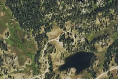
Camp site
Campground · 5.2 mi · Steamboat Springs
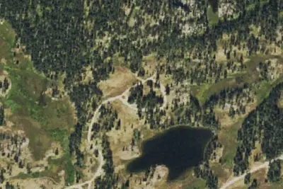
Summit Lake Campground
Public Land · 5.3 mi · Steamboat Springs
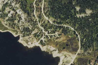
Granite Campground
Public Land · 5.5 mi · Steamboat Springs
3 more within 25 mi
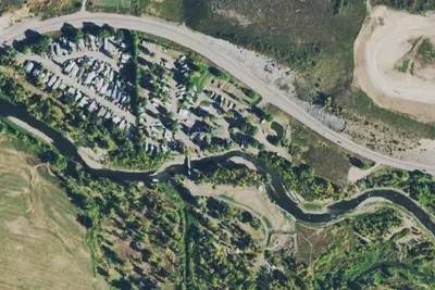
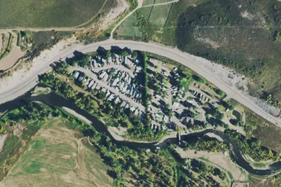
Location and contact
Data from OpenStreetMap, Overture Maps Foundation — Places, Recreation Information Database (RIDB) / Recreation.gov, Recreation.gov — campground rate cards, USFS INFRA Recreation Sites
Something wrong here? Suggest an edit
Run this campground? Claim the listing