Dorst Creek Campground-Sequoia and Kings Canyon National Park
Hartland, California · 6,749 ft · In Sequoia National Park
Photos: NPS-JH
Wildfire 9.1 mi W: Land, 20 acres
At a glance
5 of 8 facts known · recreation.gov, checked Sep 24, 2026
- Elevation
- 6,749 ft (2,057 m)6,749 ft2,057 m
Loops8
Pick a loop to see its sites.
- Loop A24 sites24 standard · up to 133 ft
- Loop B33 sites33 standard · up to 99 ft
- Loop C12 sites12 walk-to · up to 19 ft
- Loop D22 sites20 standard · 2 tent only · up to 45 ft
- Loop E27 sites15 standard · 12 walk-to · up to 121 ft
- Loop F33 sites33 standard · up to 35 ft
- Loop G25 sites23 standard · 2 tent only · up to 30 ft
- Loop H24 sites24 standard · up to 40 ft
Other areas
From recreation.gov's site list, Oct 10, 2026. Loop names are trimmed and merged.
Other campgrounds in Sequoia National Park 10
Nearest first. Every place inside the park's boundary.
- Dorst Creek Campground222 sites · $16–$32 a night · Reserve on Recreation.gov360 ft
- RV parkRV Park · facts not yet known5.0 mi
- Lodgepole Campground214 sites · $16–$32 a night · Reserve on Recreation.gov5.1 mi
- Lodgepole Campground-Sequoia and Kings Canyon National Park7 loops · 1-22, 151-214, 23-35, 36-60, 61-68, Upper Lodgepole 105-144, Upper Lodgepole 69-104 · $32 a night · Reserve on Recreation.gov5.1 mi
- Potwisha Campground42 sites · $32 a night · Reserve on Recreation.gov8.2 mi
- Mehrten CreekCampground · facts not yet known8.2 mi
Also in the park: 3 backcountry and High Sierra camps · 29 single sites
Open the park pageAmenities
From Recreation.gov, Recreation.gov — campground rate cards · Correct
- ADA accessible
- Campfires allowed
From Recreation.gov, Recreation.gov — campground rate cards
You could be the first camper hereYou could be the first camper on this page
Stayed here? Share what the next camper should know.
Free account · no email needed to browse
About
Overview
Dorst Creek Campground is located in the breathtaking Sequoia and Kings Canyon National Parks in central California's rugged Sierra Nevada range.
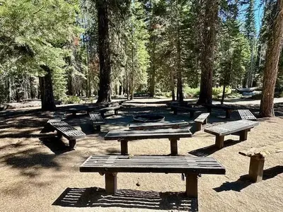
The campground is perched at an elevation of 6,700 ft., on the banks of scenic Dorst Creek. Several meadows surround the campground and a number of small streams flow through the site.
From Recreation.gov and Recreation.gov — campground rate cards · · Edit
Cell service
Report signalFCC map: no coverage reported
- VerizonNo coverage on FCC map
- AT&TNo coverage on FCC map
- T-MobileNo coverage on FCC map
Cell service at Dorst Creek Campground-Sequoia and Kings Canyon National Park: FCC map Dec 2025
Weather
National Weather Service
- TueSunny, 6% chance of rain48°33°
- WedSunny60°41°
- ThuSunny65°41°
- FriSunny67°42°
- SatSunny64°41°
Nearby camping
SeeSee all on the mapOutside the park, nearest first.
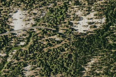
Stony Creek Campground
Public Land · 2.3 mi · Hartland
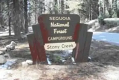
Stony Creek Sequoia
Public Land · 2.4 mi · Hartland
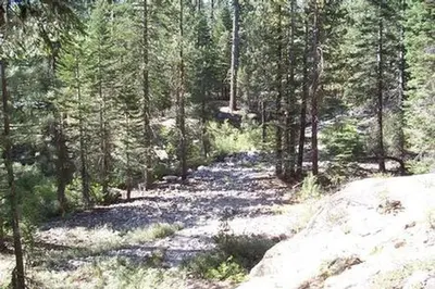
Upper Stony Creek Campground
Public Land · 2.4 mi · Hartland
3 more within 25 mi
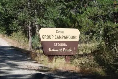
Dispersed camping nearby
Free dispersed camping within 19 mi, on public land.
- 4.0 mi
Camp site
Hartland, CA · On U.S. Forest Service land · Sequoia National Forest
- 5.0 mi
Cherry Flat
Hartland, CA
- 5.8 mi
Western Big Meadow Road
Wilsonia, CA
- 5.9 mi
Eastern Big Meadow Road
Wilsonia, CA
- 7.3 mi
Pierce Pond
Hartland, CA
- 7.8 mi
Camp site
Silver City, CA · On National Park Service land · Sequoia National Park
Location and contact
Data from Recreation Information Database (RIDB) / Recreation.gov, Recreation.gov — campground rate cards
Something wrong here? Suggest an edit
Run this campground? Claim the listing