Divide Bridge Campground
Butte-Silver Bow (balance), Montana · 5,404 ft
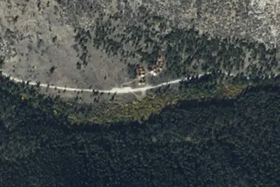
Aerial view · USGS / USDA NAIP · Public domain · source
Wildfire 15 mi W: Bobcat Lakes, 10,896 acres, 95% contained
At a glance
2 of 8 facts known · from OpenStreetMap and USGS
- Elevation
- 5,404 ft (1,647 m)5,404 ft1,647 m
- Land
- Butte Field Office
Bureau of Land Management
Amenities
You could be the first camper hereYou could be the first camper on this page
Stayed here? Share what the next camper should know.
Free account · no email needed to browse
About
A series of small recreation sites are located along a 73-mile stretch of the Big Hole River between Wisdom and Melrose. The river offers blue ribbon trout fishing and excellent float boating. Nine of the sites are managed by BLM. Beginning at Melrose and going west, the sites are: Maiden Rock I, Maiden Rock East, Divide Bridge, Divide Campground, Jerry Creek Bridge, Dickie Bridge, East Bank, Sawlog Creek, and Pintlar Creek.
Facilities:
From BLM National Recreation Sites & Facilities, OpenStreetMap, Overture Maps Foundation — Places, and Recreation.gov · · Edit
Cell service
Report signal- Verizon4G LTE
- AT&TNo coverage on FCC map
- T-Mobile5G · 4G LTE
Cell service at Divide Bridge Campground: FCC map Dec 2025
Weather
National Weather Service
- WedMostly Sunny, 1% chance of rain51°27°
- ThuSunny51°29°
- FriSunny59°34°
- SatSunny60°34°
- SunSunny59°38°
Nearby camping
SeeSee all on the map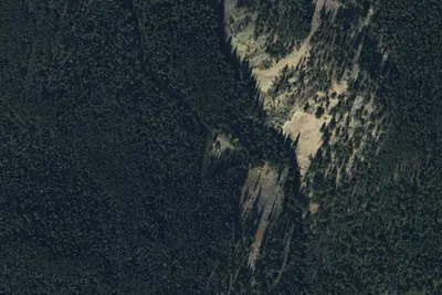
End Road
Dispersed · 6.3 mi · Butte-Silver Bow (balance)
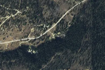
Mine
Dispersed · 6.4 mi · Dewey
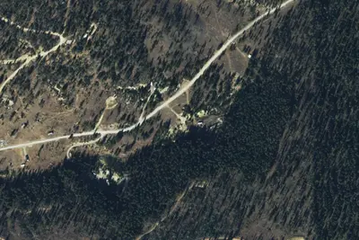
Quartz Hill 01
Dispersed · 6.4 mi · Dewey
3 more within 25 mi
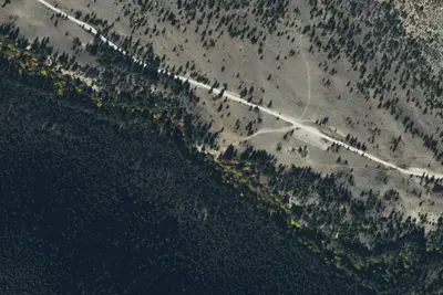
Dispersed camping nearby
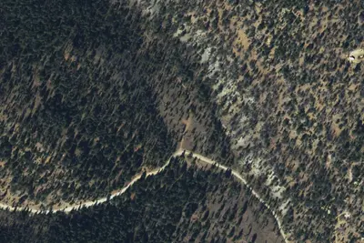
Free dispersed camping within 19 mi, on public land.
Location and contact
Data from BLM National Recreation Sites & Facilities, OpenStreetMap, Overture Maps Foundation — Places, Recreation Information Database (RIDB) / Recreation.gov
Something wrong here? Suggest an edit
Run this campground? Claim the listing