Devil's Flat Campground
Days Creek, Oregon · 2,408 ft
Photos: USGS / USDA NAIP
At a glance
3 of 8 facts known · Forest Service data, checked Oct 3, 2026
- Elevation
- 2,408 ft (734 m)2,408 ft734 m
- Land
- Umpqua National Forest
U.S. Forest Service
Amenities
You could be the first camper hereYou could be the first camper on this page
Stayed here? Share what the next camper should know.
Free account · no email needed to browse
About
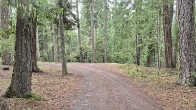
Enjoy a beautiful drive through the picturesque Cow Creek drainage on your way to one of the most interesting campgrounds in Umpqua. Located under a bluff and surrounded by a forest of cedar, pine, and madrone, Devil's Flat is a small campground with three campsites, a bevy of hiking opportunities, and a handful of historic landmarks. On the north side of the campground, you can see the stone ruins of an old water fixture built by the Civilian Conservation Corps "Fire-Eaters" in the 1930s. On the south side is the old Devil 's Flat Guard Station, where you'll find a Ranger Cabin built in 1915 and a 1920s-era horse barn. Near the ranger cabin in a fir tree, you can also see the tiki carving that gave Devil's Flat its name. Devil's Flat offers easy access to beautiful hikes of varying length and difficulty: Cow Creek Falls Trail #1422 makes a 0.3-mile loop along cascading Cow Creek Gorge. Elk's Skull Bluff Trail #1428A makes a 0.5-mile loop from the campground to a vantage point of the Upper Cow Creek drainage. Maranatha Trail #1422A travels 1.5 miles to a viewpoint over the Cow Creek drainage. Devil's Flat Trail #1428 leads five miles to the top of Red Mountain.
From OpenStreetMap, USDA Forest Service — Recreation Opportunities, and USFS INFRA Recreation Sites · Edit
Cell service
Report signalFCC map: no coverage reported
- VerizonNo coverage on FCC map
- AT&TNo coverage on FCC map
- T-MobileNo coverage on FCC map
Cell service at Devil's Flat Campground: FCC map Dec 2025
Weather
National Weather Service
- WedSunny, 2% chance of rain68°49°
- ThuSunny78°51°
- FriSunny79°43°
- SatMostly Sunny, 3% chance of rain64°41°
- SunMostly Sunny, 5% chance of rain63°38°
Nearby camping
SeeSee all on the map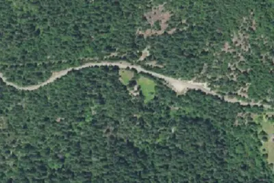
Devils Flat Guard Station
Campground · 0.1 mi · Days Creek
Camp site
Campground · 2.2 mi · Trail
Chief Miwaleta campground
Campground · 7.3 mi · Canyonville
3 more within 25 mi
3 OpenStreetMap entries in Days Creek share one park. They may be individual sites of a single campground. Suggest a merge
Location and contact
Data from OpenStreetMap, USDA Forest Service — Recreation Opportunities, USFS INFRA Recreation Sites
Something wrong here? Suggest an edit
Run this campground? Claim the listing