Deer Creek Forest Camp
Orient, Washington · 4,613 ft
Aerial view · USGS / USDA NAIP · Public domain · source
Fire data is unavailable right now
At a glance
3 of 8 facts known · Forest Service data, checked Oct 3, 2026
- Elevation
- 4,613 ft (1,406 m)4,613 ft1,406 m
- Land
- Colville National Forest
U.S. Forest Service
Amenities
You could be the first camper hereYou could be the first camper on this page
Stayed here? Share what the next camper should know.
Free account · no email needed to browse
About
This high elevation fee campground was burned over during the Stickpin fire of 2015. The site has been reconstructed and has numerous young trees including Douglas fir, ponderosa pine, lodgepole pine and aspen. Understory grass, shrubs, and wildflowers are well established. The campground includes a mix of back-in and pull-through campsites and will also offer horse corrals as of late June, 2024. The campground is located on the designated route of the Pacific Northwest National Scenic Trail, is across the street from the northern trailhead of the Kettle Crest National Recreation Trail (hike, horse, and mountain bike friendly) and provides close access to the Taylor Ridge Trail (popular mountain bike trail). Each site includes a table, fire ring, and a level parking spur (50-60 feet long). There is one outhouse and no drinking water. There is a water trough available across the road (paved county highway) for horses.
Fees: Overnight Use:
From OpenStreetMap, USDA Forest Service — Recreation Opportunities, and USFS INFRA Recreation Sites · · Edit
Cell service
Report signalFCC map: no coverage reported
- VerizonNo coverage on FCC map
- AT&TNo coverage on FCC map
- T-MobileNo coverage on FCC map
Cell service at Deer Creek Forest Camp: FCC map Dec 2025
Weather
National Weather Service
- WedMostly Sunny, 7% chance of rain53°38°
- ThuMostly Sunny54°40°
- FriSunny57°41°
- SatMostly Sunny, 4% chance of rain52°35°
- SunMostly Sunny, 3% chance of rain47°38°
Nearby camping
SeeSee all on the map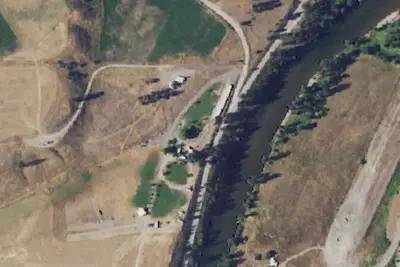
Curlew RV Park
RV Park · 9.5 mi · Curlew
Country Hideaway Campground
RV Park · 10 mi
Old Stage Horse Camp
Other · 11 mi · Curlew Lake
3 more within 25 mi
Dispersed camping nearby
Free dispersed camping within 19 mi, on public land.
Location and contact
Data from OpenStreetMap, USDA Forest Service — Recreation Opportunities, USFS INFRA Recreation Sites
Something wrong here? Suggest an edit
Run this campground? Claim the listing