Dead Indian Campground
Cody, Wyoming · 6,010 ft
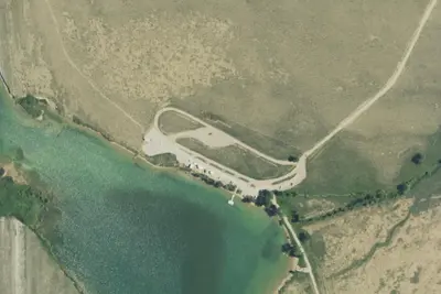
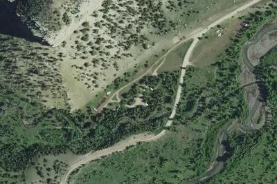
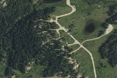
Aerial view · USGS / USDA NAIP · Public domain · source
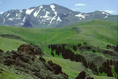
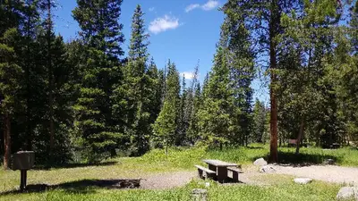
Photos taken nearby
From Wikimedia Commons, taken close to this campground — not necessarily pictures of it.
Wildfire 36 mi S: Monk, 41 acres
At a glance
3 of 8 facts known · Forest Service data, checked Oct 3, 2026
- Elevation
- 6,010 ft (1,832 m)6,010 ft1,832 m
- Land
- Shoshone National Forest
U.S. Forest Service
Amenities
You could be the first camper hereYou could be the first camper on this page
Stayed here? Share what the next camper should know.
Free account · no email needed to browse
About
This campground hosts 10 campsites and a trailhead across State Highway 296. The trail climbs along Dead Indian Creek, through the Absaroka Wilderness, across Dead Indian Meadows, and up to the summit of Dead Indian Peak. There is a 16-day stay limit and is not accessible to persons with mobility impairments. Notes: Adjacent corrals at trailhead across Hwy 296. Maximum spur 32 feet. Food storage is required.
Fees: Overnight Use:
From OpenStreetMap, Overture Maps Foundation — Places, USDA Forest Service — Recreation Opportunities, and USFS INFRA Recreation Sites · · Edit
Cell service
Report signal- VerizonNo coverage on FCC map
- AT&T5G · 4G LTE
- T-MobileNo coverage on FCC map
Cell service at Dead Indian Campground: FCC map Sep 2026
Weather
National Weather Service
- WedSunny, 1% chance of rain52°33°
- ThuSunny, 1% chance of rain49°34°
- FriSunny62°42°
- SatSunny66°40°
- SunMostly Sunny61°40°
Nearby camping
SeeSee all on the map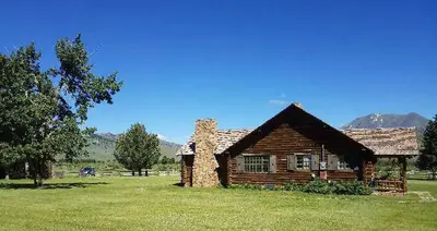
Dispersed camping nearby
Free dispersed camping within 19 mi, on public land.
Location and contact
Data from OpenStreetMap, Overture Maps Foundation — Places, USDA Forest Service — Recreation Opportunities, USFS INFRA Recreation Sites
Something wrong here? Suggest an edit
Run this campground? Claim the listing