Davis Lake Campground
New Houlka, Mississippi · 364 ft · In National Forests in Mississippi
Photos: Angela Ard
At a glance
6 of 8 facts known · recreation.gov, checked Oct 3, 2026
- Elevation
- 364 ft (111 m)364 ft111 m
Loops1
Pick a loop to see its sites.
From recreation.gov's site list, Oct 10, 2026: 1 staff entry left out. Loop names are trimmed and merged.
How we name loops
“S&P” is a staff entry, not a campsite, and is left out.
Amenities
From OpenStreetMap, Overture Maps Foundation — Places, Recreation.gov, Recreation.gov — campground rate cards, USFS INFRA Recreation Sites · Correct
- Dump station
- Showers
- Showers
From OpenStreetMap, Overture Maps Foundation — Places, Recreation.gov, Recreation.gov — campground rate cards, USFS INFRA Recreation Sites
You could be the first camper hereYou could be the first camper on this page
Stayed here? Share what the next camper should know.
Free account · no email needed to browse
About
Overview
Davis Lake Recreation Area is home to beautiful Davis Lake, Campground and Day Use Area, popular for all kinds of recreational opportunities, including swimming, fishing, boating, birding and wildlife viewing. The surrounding scenic forests make Davis Lake a picturesque place to spend quality time outdoors.Recreation
Davis Lake covers 200 acres and provides multiple recreational opportunities. A grassy swimming beach is situated on the shore, where many anglers cast for largemouth bass, hybrid striped bass, crappie, catfish and bream. The campground has 27 sites on the lake, many of them with space to anchor a boat. A 2-mile trail wanders along the north edge of the lake to several earthen fishing piers. Visitors can also spend time birding, watching for a variety of geese and ducks that migrate through the area. Hawks, herons, bluebirds and doves are also plentiful, among many other species. Wildlife viewing is also available, as foxes and bobcats call the area home. The Chickasaw OHV Trail is a newly renovated 12-mile motorized trail that is within three miles of the campground. The trailhead lies between the Davis Lake recreation area and the Natchez Trace Parkway. It is within a mile of the Owl Creek Mounds archaeological interpretive site. The OHV trail is open between April 1 and Oct. 31. The trail accommodates off-road vehicles 48-inches in width or less. Cyclists and hikers will enjoy the Tanglefoot Trail. This multiple-use Rails-to-Trails path is located 5 miles west of Davis Lake. It runs 43.5 miles from Houston to New Albany, MS through Houlka, Algoma, Pontotoc, Ecru, and Ingomar.
From OpenStreetMap, Overture Maps Foundation — Places, Recreation.gov, Recreation.gov — campground rate cards, and USFS INFRA Recreation Sites · · Edit
Cell service
Report signal- Verizon4G LTE
- AT&T4G LTE
- T-Mobile4G LTE
Cell service at Davis Lake Campground: FCC map Dec 2025
Weather
National Weather Service
- WedSunny, 6% chance of rain92°64°
- ThuSunny92°64°
- FriSunny, 1% chance of rain79°47°
- SatSunny70°44°
- SunSunny75°51°
Nearby camping
SeeSee all on the map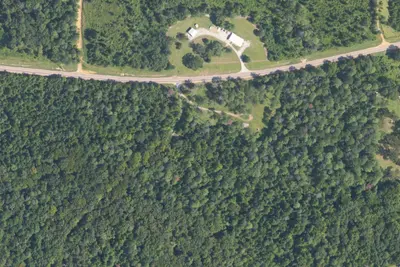
Paynatha Trail Head - USFS
Dispersed · 4.3 mi · Van Vleet
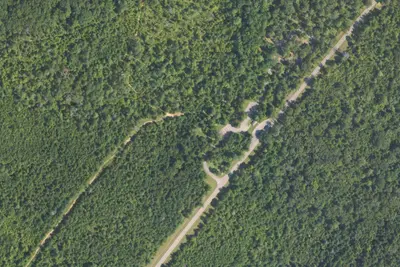
Witch Dance Bicycle-only Campground, at milepost 234
Dispersed · 9.4 mi · Houston
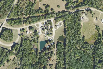
Natchez Trace RV Park
RV Park · 9.7 mi · Verona
3 more within 25 mi
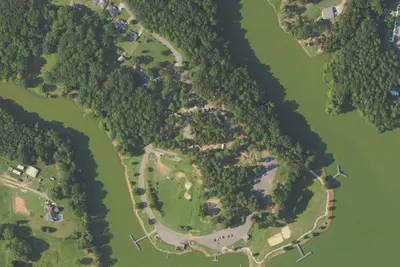
Dispersed camping nearby
Free dispersed camping within 19 mi, on public land.
Location and contact
Data from OpenStreetMap, Overture Maps Foundation — Places, Recreation Information Database (RIDB) / Recreation.gov, Recreation.gov — campground rate cards, USFS INFRA Recreation Sites
Something wrong here? Suggest an edit
Run this campground? Claim the listing