Dark Day Campground
Camptonville, California · 1,995 ft · In Tahoe National Forest
Photos: TNF
At a glance
6 of 8 facts known · recreation.gov, checked Sep 24, 2026
- Elevation
- 1,995 ft (608 m)1,995 ft608 m
Sites10
Dark Day Campground lists no loops, so its sites are listed here. Pick a site to see its details.
- 1DTent only · up to 12 peopleTents only
- 2DTent only · up to 12 peopleTents only
- 3DTent only · up to 12 peopleTents only
- 4TTent only · up to 18 peopleTents only
- 5Tent only · up to 6 peopleTents only
- 6Tent only · up to 6 peopleTents only
- 7Tent only · up to 6 peopleTents only
- 8Tent only · up to 6 peopleTents only
- 9Tent only · up to 6 peopleTents only
- 10Tent only · up to 6 peopleTents only
All 10 shown · by site number
From recreation.gov's site list, Oct 10, 2026.
Amenities
From Overture Maps Foundation — Places, Recreation.gov, Recreation.gov — campground rate cards, USDA Forest Service — Recreation Opportunities, USFS INFRA Recreation Sites · Correct
- Campfires allowed
- Trash / dumpster
From Overture Maps Foundation — Places, Recreation.gov, Recreation.gov — campground rate cards, USDA Forest Service — Recreation Opportunities, USFS INFRA Recreation Sites
You could be the first camper hereYou could be the first camper on this page
Stayed here? Share what the next camper should know.
Free account · no email needed to browse
About
Overview
Bullards Bar Reservoir is located on the North Yuba River at an elevation of 2000 feet. It is located approximately 21 miles north of Nevada City, California. It has a maximum surface area of 4,760 acres and a length of over 16 miles and shoreline of more than 60 miles.
Recreation
Activities include wildlife viewing, hiking, mountain biking, horseback riding, camping, fishing, boating, water skiing, and other water sports. Swimming opportunities are limited because of the steep slopes; however boaters will find numerous opportunities for swimming in various locations around the reservoir. The reservoir provides yearlong fishing opportunities for both warm and cold water fish species. Supplies are available at the marina as well as the nearby communities of Camptonville, North San Juan, and Dobbins.
From Overture Maps Foundation — Places, Recreation.gov, Recreation.gov — campground rate cards, USDA Forest Service — Recreation Opportunities, and USFS INFRA Recreation Sites · · Edit
Cell service
Report signalFCC map: no coverage reported
- VerizonNo coverage on FCC map
- AT&TNo coverage on FCC map
- T-MobileNo coverage on FCC map
Cell service at Dark Day Campground: FCC map Dec 2025
Weather
National Weather Service
- TueSunny75°49°
- WedSunny78°57°
- ThuSunny89°58°
- FriSunny88°54°
- SatSunny82°53°
Nearby camping
SeeSee all on the map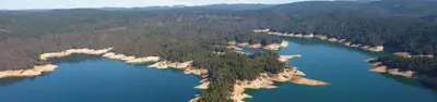
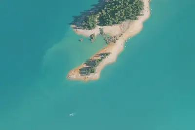
Garden Point Boat-in Campground
Public Land · 0.9 mi · Camptonville
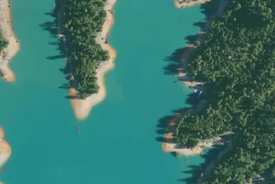
Garden Point
Public Land · 1.0 mi · North San Juan
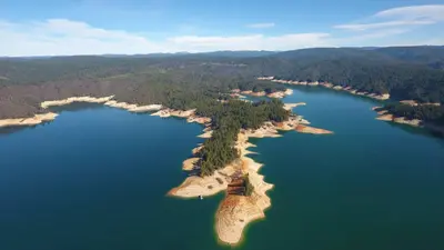
Catfish Cove
Dispersed · 1.0 mi · Camptonville
3 more within 25 mi
Dispersed camping nearby
Free dispersed camping within 19 mi, on public land.
Location and contact
Data from Overture Maps Foundation — Places, Recreation Information Database (RIDB) / Recreation.gov, Recreation.gov — campground rate cards, USDA Forest Service — Recreation Opportunities, USFS INFRA Recreation Sites
Something wrong here? Suggest an edit
Run this campground? Claim the listing