Dam Site (Fort Gibson Lake)
Mallard Bay, Oklahoma · 522 ft · In Fort Gibson Lake
At a glance
4 of 8 facts known · recreation.gov, checked Sep 24, 2026
- Elevation
- 522 ft (159 m)522 ft159 m
Loops1
Pick a loop to see its sites.
From recreation.gov's site list, Oct 10, 2026. Loop names are trimmed and merged.
Amenities
From Recreation.gov, Recreation.gov — campground rate cards · Correct
- Campfires allowed
From Recreation.gov, Recreation.gov — campground rate cards
You could be the first camper hereYou could be the first camper on this page
Stayed here? Share what the next camper should know.
Free account · no email needed to browse
About
Overview
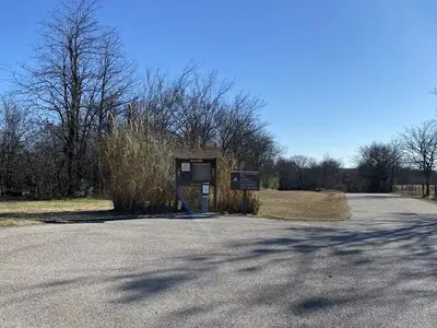
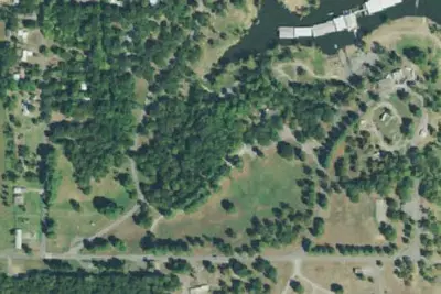
Dam Site Campground is situated below Fort Gibson Dam on the west bank of the Grand River in northeastern Oklahoma. The campground was severely damaged during the 2019 flood. None of the campsites offer water or electric. The campground is open for day use and primitive camping.
The group shelter and Overlook shelter are only reservable through recreation.gov
From Recreation.gov and Recreation.gov — campground rate cards · · Edit
Cell service
Report signal- Verizon4G LTE
- AT&TNo coverage on FCC map
- T-Mobile5G · 4G LTE
Cell service at Dam Site (Fort Gibson Lake): FCC map Dec 2025
Weather
National Weather Service
- WedChance Showers And Thunderstorms then Showers And Thunderstorms, 95% chance of rain81°70°
- ThuChance Showers And Thunderstorms, 64% chance of rain83°53°
- FriChance Rain Showers then Mostly Sunny, 27% chance of rain62°45°
- SatSunny65°45°
- SunSunny, 1% chance of rain70°51°
Nearby camping
SeeSee all on the map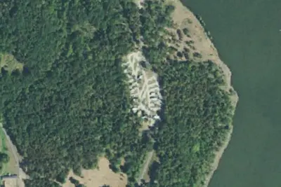
Choctaw RV Campground
RV Park · 2.3 mi · Mallard Bay
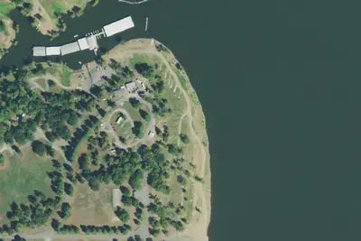
Pushmataha Campground
Campground · 2.5 mi · Mallard Bay
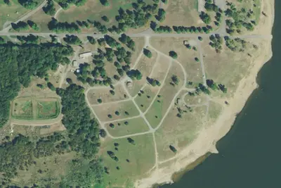
Opothle-Yahold Campground
Campground · 2.5 mi · Mallard Bay
3 more within 25 mi
Location and contact
Data from Recreation Information Database (RIDB) / Recreation.gov, Recreation.gov — campground rate cards
Something wrong here? Suggest an edit
Run this campground? Claim the listing