Curtis Gulch Campground
Esterbrook, Wyoming · 6,627 ft · In Medicine Bow-Routt NFs & Thunder Basin NG
Photos: MBRTB
Wildfire 45 mi W: Chalk Mountain, 124 acres, 91% contained
At a glance
6 of 8 facts known · recreation.gov, checked Oct 3, 2026
- Elevation
- 6,627 ft (2,020 m)6,627 ft2,020 m
Sites6
Curtis Gulch Campground lists no loops, so its sites are listed here. Pick a site to see its details.
From recreation.gov's site list, Oct 10, 2026.
Amenities
From OpenStreetMap, Recreation.gov, Recreation.gov — campground rate cards, USDA Forest Service — Recreation Opportunities, USFS INFRA Recreation Sites · Correct
- ADA accessible
- Campfires allowed
- Drinking water
- Toilets
- Trash / dumpster
From OpenStreetMap, Recreation.gov, Recreation.gov — campground rate cards, USDA Forest Service — Recreation Opportunities, USFS INFRA Recreation Sites
You could be the first camper hereYou could be the first camper on this page
Stayed here? Share what the next camper should know.
Free account · no email needed to browse
About
Overview
Curtis Gulch Campground sits at an elevation of 6,640 feet, at the end of the long and scenic LaBonte Canyon. There are 6 sites along a bend in the creek with picnic tables, fire rings, pedestal grills, a vault toilet, pump water well, and trash bins.
Recreation
The canyon bottom is about 6,700 feet in elevation and has granite rock formations for technical rock climbing and photography. LaBonte Creek runs through the entire length of the canyon and offers anglers many opportunities to catch the rainbow trout stocked annually by the WGFD. For OHV riding, the LaBonte Canyon Trail starts at the back of the campground, and The Big Bear Trail System is located just 1/4 mile up the canyon. Both are 50” or less OHV trails but are also commonly used for hiking, biking, and horseback riding. FSRD #610, Devil's Pass, and the South Fork LaBonte Trails to the south offer additional opportunities for adventure. The Curtis Gulch Trail is non-motorized and starts at the trail parking area just outside the campground.
From OpenStreetMap, Recreation.gov, Recreation.gov — campground rate cards, USDA Forest Service — Recreation Opportunities, and USFS INFRA Recreation Sites · · Edit
Cell service
Report signalFCC map: no coverage reported
- VerizonNo coverage on FCC map
- AT&TNo coverage on FCC map
- T-MobileNo coverage on FCC map
Cell service at Curtis Gulch Campground: FCC map Dec 2025
Weather
National Weather Service
- TueChance Rain Showers, 54% chance of rain54°36°
- WedWidespread Fog then Rain And Snow Showers Likely, 83% chance of rain38°32°
- ThuLight Snow Likely then Partly Sunny, 66% chance of rain42°24°
- FriWidespread Frost then Sunny55°38°
- SatSunny62°41°
Nearby camping
SeeSee all on the map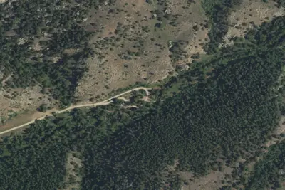
Curtis Gulch Campground
Campground · under 100 ft · Esterbrook
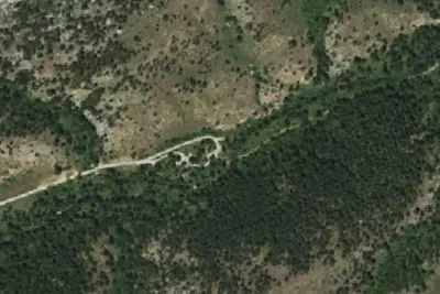
Camp site
Campground · 120 ft · Esterbrook
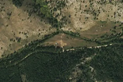
LaBonte Camp 5
Campground · 2.2 mi · Esterbrook
3 more within 25 mi
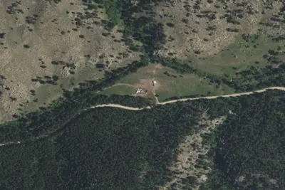
6 OpenStreetMap entries in Esterbrook share one park. They may be individual sites of a single campground. Suggest a merge
Location and contact
Data from OpenStreetMap, Recreation Information Database (RIDB) / Recreation.gov, Recreation.gov — campground rate cards, USDA Forest Service — Recreation Opportunities, USFS INFRA Recreation Sites
Something wrong here? Suggest an edit
Run this campground? Claim the listing