Curtis Creek Campground (Nc)
Old Fort, North Carolina · 1,729 ft · In National Forests in North Carolina
Photos: USFS
Photos taken nearby
From Wikimedia Commons, taken close to this campground — not necessarily pictures of it.
At a glance
4 of 8 facts known · recreation.gov, checked Sep 24, 2026
- Elevation
- 1,729 ft (527 m)1,729 ft527 m
Sites24
Curtis Creek Campground (Nc) lists no loops, so its sites are listed here. Pick a site to see its details.
- 001 Group SiteGroup · up to 12 people
- 002Tent only · up to 6 peopleTents only
- 003Tent only · up to 6 peopleTents only
- 004Tent only · up to 6 peopleTents only
- 005Tent only · up to 6 peopleTents only
- 006Standard · accessible · up to 6 people
- 007Standard · up to 6 people
- 008Standard · up to 6 people
- 009Standard · up to 6 people
- 010Standard · up to 6 people
Showing 10 of 24 · by site number
From recreation.gov's site list, Oct 10, 2026.
Amenities
From OpenStreetMap, Overture Maps Foundation — Places, Recreation.gov, Recreation.gov — campground rate cards · Correct
- ADA accessible
- Campfires allowed
From OpenStreetMap, Overture Maps Foundation — Places, Recreation.gov, Recreation.gov — campground rate cards
You could be the first camper hereYou could be the first camper on this page
Stayed here? Share what the next camper should know.
Free account · no email needed to browse
About
Overview
Curtis Creek Campground is nestled in the mountains at the base of the Blue Ridge just minutes from the quaint town of Old Fort and less than an hour from the popular city of Asheville. Located in the first tract of National Forest land in the eastern US at the site of an old Civilian Conservation Corp (CCC) camp, the campground is surrounded by old growth forests and roaring trout streams. The gravel road through the campground ascends to the Blue Ridge Parkway, providing easy access to the Mount Mitchell area.Recreation
Visitors to the campground can enjoy a variety of activities including fishing, swimming, day hiking, picnicking, and scenic driving. Curtis Creek is well known for its excellent trout fishing. Swimming holes along the creek provide wading opportunities on hot summer days. History buffs will enjoy exploring the remains of the old CCC buildings surrounding the campground. Two Forest Service trails depart from the campground. The Hickory Branch trail provides a short (approximately 1/2 mile) hike to a series of waterfalls, and longer hikes to access the backcountry area around Mackey Mountain. Mackey Mountain and the valley of Mackey Creek contain the largest unbroken tract of old-growth forest in the Pisgah National Forest. The Snooks Nose trail provides a strenuous hike to a ridge with beautiful views, eventually ending at the Blue Ridge Parkway. Many other Forest Service trails are within a short drive of the campground, including Catawba Falls and Point Lookout trail.
From OpenStreetMap, Overture Maps Foundation — Places, Recreation.gov, and Recreation.gov — campground rate cards · · Edit
Cell service
Report signalFCC map: no coverage reported
- VerizonNo coverage on FCC map
- AT&TNo coverage on FCC map
- T-MobileNo coverage on FCC map
Cell service at Curtis Creek Campground (Nc): FCC map Dec 2025
Weather
National Weather Service
- WedSunny82°62°
- ThuSunny, 6% chance of rain82°60°
- FriSunny, 10% chance of rain77°40°
- SatSunny, 2% chance of rain58°36°
- SunSunny58°39°
Nearby camping
SeeSee all on the map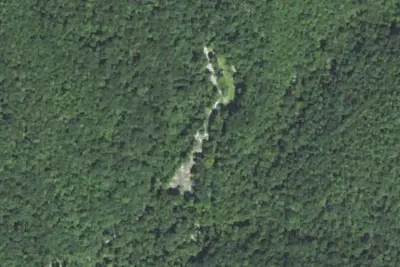
Curtis Creek Campground
Public Land · 280 ft · Old Fort
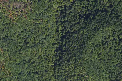
Camp site
Dispersed · 0.4 mi · Old Fort
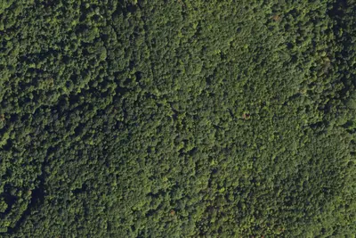
Camp site
Dispersed · 2.3 mi · Old Fort
3 more within 25 mi
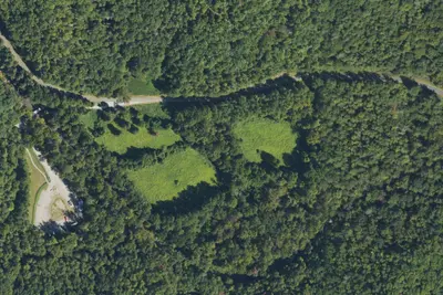
4 OpenStreetMap entries in Old Fort share one park. They may be individual sites of a single campground. Suggest a merge
Dispersed camping nearby
Free dispersed camping within 19 mi, on public land.
- 0.4 mi
Camp site
Old Fort, NC · On U.S. Forest Service land · Pisgah National Forest
- 2.3 mi
Camp site
Old Fort, NC · On U.S. Forest Service land · Pisgah National Forest
- 3.4 mi
Blue Ridge Parkway Tent
Montreat, NC · On U.S. Forest Service land · Pisgah National Forest
- 4.3 mi
Camp site
Montreat, NC · On National Park Service land · Blue Ridge Parkway
- 4.7 mi
Camp site
Montreat, NC · On National Park Service land · Blue Ridge Parkway
- 5.6 mi
Commissary Hill Backcountry Campsite
Montreat, NC · On U.S. Forest Service land · Pisgah National Forest
Location and contact
Data from OpenStreetMap, Overture Maps Foundation — Places, Recreation Information Database (RIDB) / Recreation.gov, Recreation.gov — campground rate cards
Something wrong here? Suggest an edit
Run this campground? Claim the listing