Currier Spring
Paisley, Oregon · 6,857 ft
Aerial view · USGS / USDA NAIP · Public domain · source
At a glance
3 of 8 facts known · Forest Service data, checked Oct 3, 2026
- Elevation
- 6,857 ft (2,090 m)6,857 ft2,090 m
- Land
- Fremont National Forest
U.S. Forest Service
Amenities
You could be the first camper hereYou could be the first camper on this page
Stayed here? Share what the next camper should know.
Free account · no email needed to browse
About
Located one hour west of Paisley, Oregon, Currier Springs horse camp lies in an open meadow. Currier Springs features four camping sites with campfire rings, and picnic tables. It also boasts a newer corral with four stalls, built by the Back Country Horsemen, that can accommodate four to eight horses. Horses can be watered, using the historical trough constructed by the Civilian Conservation Corps. From Currier Springs you can access the Fremont National Recreation Trail for miles of backcountry riding. You'll view spectacular mountain scenery as you ride along the top of a 2,000 feet high fault block rim, known as Winter Rim or Winter Ridge. As the trail heads west to Hager Mountain, there are vistas of Summer Lake. It's about a 29 mile ride to Antler Horse Camp. There is no portable water. Visitors need to pack plenty of water.
Fees: No fees are required for this site
From USFS INFRA Recreation Sites · Edit
Cell service
Report signalFCC map: no coverage reported
- VerizonNo coverage on FCC map
- AT&TNo coverage on FCC map
- T-MobileNo coverage on FCC map
Cell service at Currier Spring: FCC map Dec 2025
Weather
National Weather Service
- WedSunny, 1% chance of rain53°38°
- ThuSunny57°41°
- FriSunny61°43°
- SatMostly Sunny57°38°
- SunSunny54°35°
Nearby camping
SeeSee all on the map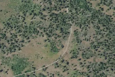
Currier Springs Horse Camp
Dispersed · 320 ft · Paisley
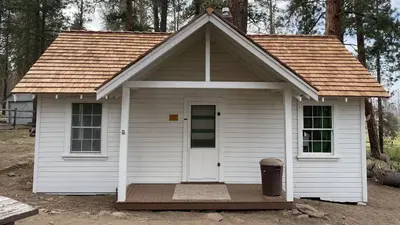
Currier Guard Station
Public Land · 4.6 mi · Langell Valley
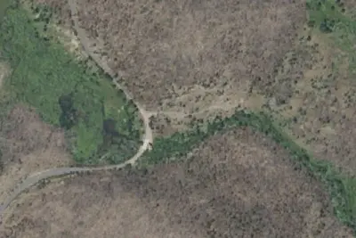
Hanan/Sycan Campground
Dispersed · 4.8 mi · Paisley
3 more within 25 mi
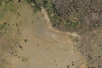
3 OpenStreetMap entries in Paisley share one park. They may be individual sites of a single campground. Suggest a merge
Dispersed camping nearby
Free dispersed camping within 19 mi, on public land.
- 320 ft
Currier Springs Horse Camp
Paisley, OR · On U.S. Forest Service land · Fremont National Forest
- 4.8 mi
Hanan/Sycan Campground
Paisley, OR · On U.S. Forest Service land · Fremont National Forest
- 11 mi
Camp site
Summer Lake, OR · On U.S. Forest Service land · Fremont National Forest
- 16 mi
Ana River Campground
Summer Lake, OR · On State agency land · Summer Lake Wildlife Area
Location and contact
Data from USFS INFRA Recreation Sites
Something wrong here? Suggest an edit
Run this campground? Claim the listing