Cumberland Valley Hiker-Biker Campsite
Falling Waters, Maryland · 341 ft · In Chesapeake and Ohio Canal National Historical Park
Aerial view · USGS / USDA NAIP · Public domain · source
At a glance
4 of 8 facts known · inferred from the kind of place
- Elevation
- 341 ft (104 m)341 ft104 m
- Land
- Chesapeake and Ohio Canal National Historical Park
National Park Service
Chesapeake and Ohio Canal National Historical Park · 20 campgrounds
Ringed: you're here
Open in the mapOther campgrounds in Chesapeake and Ohio Canal National Historical Park 20
Nearest first. Every place inside the park's boundary.
- Cumberland Valley Hiker-Biker Overnight (HBO) CampsiteFreeunder 100 ft
- Opequon Junction Hiker-Biker Overnight (HBO) Campsite1 site · Free3.2 mi
- Jordan Junction Hiker-Biker Campsite1 site · Free3.2 mi
- Big Woods Hiker-Biker Overnight (HBO) Campsite1 site · Free5.8 mi
- Antietam Creek Campsite20 sites · $10–$20 a night · Reserve on Recreation.gov11 mi
- Leopards MillFree22 mi
Also in the park: 22 backcountry and High Sierra camps
Open the park pageAmenities
From National Park Service — campgrounds, OpenStreetMap, Overture Maps Foundation — Places · Correct
- Backcountry camping
- Tent sites
From National Park Service — campgrounds, OpenStreetMap, Overture Maps Foundation — Places
You could be the first camper hereYou could be the first camper on this page
Stayed here? Share what the next camper should know.
Free account · no email needed to browse
About
Mile 95.2 - Hiker-biker campgrounds are located along the towpath approximately every 5-7 miles. No fee or reservation required. Overnight stays are limited to one night. All sites include a chemical toilet, picnic table, grill, and water. Please Note: Water at hiker-biker campsites is non-potable. Water is not treated and not for drinking or cooking. If you use this water, you are advised to filter, chemically treat, or boil before use. Water is turned off from mid-November to mid-April each year.
From National Park Service — campgrounds, OpenStreetMap, and Overture Maps Foundation — Places · Edit
Cell service
Report signal- Verizon4G LTE
- AT&T5G · 4G LTE
- T-Mobile5G · 4G LTE
Cell service at Cumberland Valley Hiker-Biker Campsite: FCC map Dec 2025
Weather
National Weather Service
- TuePatchy Fog then Sunny, 3% chance of rain83°64°
- WedSunny, 7% chance of rain86°60°
- ThuChance Rain Showers, 29% chance of rain67°57°
- FriChance Rain Showers, 38% chance of rain76°42°
- SatSunny, 3% chance of rain55°35°
Nearby camping
SeeSee all on the mapOutside the park, nearest first.
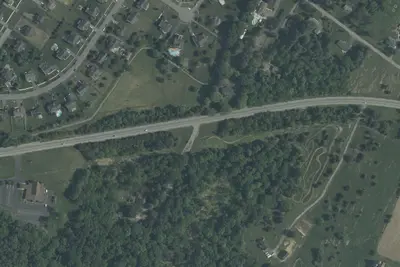
Yogi Bear's Jellystone Park
RV Park · 3.3 mi · St. James
Walmart · Martinsburg
Overnight Parking · 3.3 mi · Falling Waters
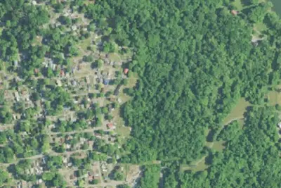
River Bend RV Park
RV Park · 5.0 mi · Big Spring
3 more within 25 mi
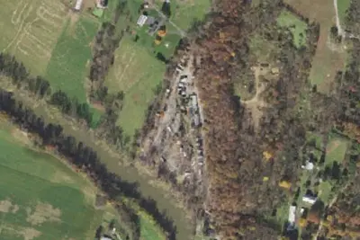
Dispersed camping nearby
Free dispersed camping within 19 mi, on public land.
- 13 mi
Camp site
Boonsboro, MD · On National Park Service land · Appalachian National Scenic Trail
- 15 mi
Crampton Gap Shelter AT Camping Area
Burkittsville, MD · On State agency land · South Mountain State Park - Battlefield
- 17 mi
Ed Garvey Shelter AT Camping Area
Garretts Mill, MD · On National Park Service land · Appalachian National Scenic Trail
Location and contact
Data from National Park Service — campgrounds (NPS Data API), OpenStreetMap, Overture Maps Foundation — Places
Something wrong here? Suggest an edit
Run this campground? Claim the listing