Cross Creek Campground
South Fork, Colorado · 8,848 ft
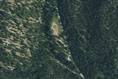
Aerial view · USGS / USDA NAIP · Public domain · source
Wildfire 49 mi NW: Elk, 7,257 acres, 90% contained
At a glance
3 of 8 facts known · Forest Service data, checked Oct 3, 2026
- Elevation
- 8,848 ft (2,697 m)8,848 ft2,697 m
- Land
- Rio Grande National Forest
U.S. Forest Service
Amenities
You could be the first camper hereYou could be the first camper on this page
Stayed here? Share what the next camper should know.
Free account · no email needed to browse
About
There are 12 sites located on both side of Cross Creek just above the Beaver Reservoir inlet. Fishing in nearby Beaver Reservoir and Beaver Creek. Hiking or ATV riding up Cross Creek Trail. Cross Creek Campground is in the Beaver Creek drainage southwest of the town of South Fork. Fishing sites include Beaver Creek and Beaver Reservoir (1/4 mile north). Cross Creek Trail 512 has the biggest Douglas fir tree in the Rio Grande National Forest. The facilities include 12 sites with tables and fireplaces (firewood is not provided), trash cans, ample parking for cars, but turn around and parking space for trailers is limited. There is an RV waste station next to the Rainbow Grocery at intersection of US Rt. 160 and State Rt. 149 in South Fork, CO. Beaver Creek Reservoir is 300 acres - no wake boating.
Fees: Day Use:
From OpenStreetMap, USDA Forest Service — Recreation Opportunities, and USFS INFRA Recreation Sites · · Edit
Cell service
Report signalFCC map: no coverage reported
- VerizonNo coverage on FCC map
- AT&TNo coverage on FCC map
- T-MobileNo coverage on FCC map
Cell service at Cross Creek Campground: FCC map Dec 2025
Weather
National Weather Service
- WedSlight Chance T-storms, 91% chance of rain40°24°
- ThuSunny, 4% chance of rain49°25°
- FriSunny, 2% chance of rain51°27°
- SatMostly Sunny, 10% chance of rain54°33°
- SunPartly Sunny then Slight Chance Showers And Thunderstorms, 18% chance of rain54°31°
Nearby camping
SeeSee all on the map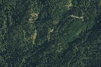
Camp site
Campground · 0.8 mi · South Fork
Beaver Creek Site 1
Campground · 0.8 mi · South Fork
Camp site
Campground · 0.9 mi · South Fork
3 more within 25 mi
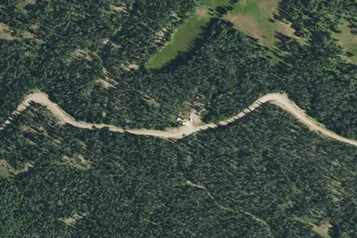
6 OpenStreetMap entries in South Fork share one park. They may be individual sites of a single campground. Suggest a merge
Dispersed camping nearby
Free dispersed camping within 19 mi, on public land.
- 2.4 mi
Camp site
South Fork, CO · On U.S. Forest Service land · Rio Grande National Forest
- 3.4 mi
Camp site
South Fork, CO · On U.S. Forest Service land · Rio Grande National Forest
- 3.6 mi
Camp site
South Fork, CO · On U.S. Forest Service land · Rio Grande National Forest
- 3.6 mi
Camp site
South Fork, CO · On U.S. Forest Service land · Rio Grande National Forest
- 3.9 mi
Camp site
South Fork, CO · On U.S. Forest Service land · Rio Grande National Forest
- 4.0 mi
Camp site
South Fork, CO · On U.S. Forest Service land · Rio Grande National Forest
Location and contact
Data from OpenStreetMap, USDA Forest Service — Recreation Opportunities, USFS INFRA Recreation Sites
Something wrong here? Suggest an edit
Run this campground? Claim the listing