Creek Pasture Group Site
Blanding, Utah · 4,843 ft · In Bears Ears National Monument
Photos: BLM
At a glance
4 of 8 facts known · recreation.gov, checked Oct 3, 2026
- Elevation
- 4,843 ft (1,476 m)4,843 ft1,476 m
Sites1
Creek Pasture Group Site lists no loops, so its sites are listed here. Pick a site to see its details.
All 1 shown · by site number
From recreation.gov's site list, Oct 10, 2026.
Amenities
From BLM National Recreation Sites & Facilities, OpenStreetMap, Recreation.gov, Recreation.gov — campground rate cards · Correct
- Group sites only
From BLM National Recreation Sites & Facilities, OpenStreetMap, Recreation.gov, Recreation.gov — campground rate cards
You could be the first camper hereYou could be the first camper on this page
Stayed here? Share what the next camper should know.
Free account · no email needed to browse
About
Overview
The Creek Pasture Group Site at Creek Pasture Campground is ideal for large groups wishing to recreate in the Indian Creek area, or camp close to the Bears Ears National Monument Indian Creek Unit OR the Needles District of Canyonlands National Park. The Indian Creek area is generally primitive and undeveloped, with few services. The Indian Creek area is a popular filming area because of its classical "western" look. Both commercial advertisements and major motion pictures have been filmed in the area.
Recreation
The Indian Creek area has gained international recognition for its extraordinary natural beauty and numerous recreational opportunities. Spectacular landscapes along with rich archeological resources provide visitors with an abundance of recreational opportunities. These opportunities include: hiking, biking, cultural resource viewing, camping, off-highway vehicle (OHV) use, rock climbing, horseback riding, wildlife viewing, sightseeing and scenic photography. These features attract visitors from around the world, who recreate both privately and by hiring commercial outfitters.
From BLM National Recreation Sites & Facilities, OpenStreetMap, Recreation.gov, and Recreation.gov — campground rate cards · · Edit
Cell service
Report signalFCC map: no coverage reported
- VerizonNo coverage on FCC map
- AT&TNo coverage on FCC map
- T-MobileNo coverage on FCC map
Cell service at Creek Pasture Group Site: FCC map Dec 2025
Weather
National Weather Service
- WedShowers And Thunderstorms, 88% chance of rain54°41°
- ThuMostly Sunny, 2% chance of rain62°40°
- FriSunny64°42°
- SatMostly Sunny, 4% chance of rain64°45°
- SunMostly Sunny, 3% chance of rain66°44°
Nearby camping
SeeSee all on the map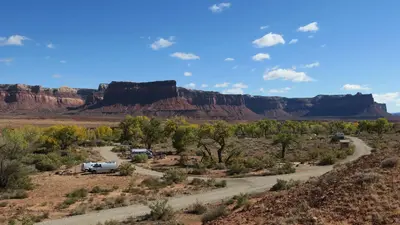
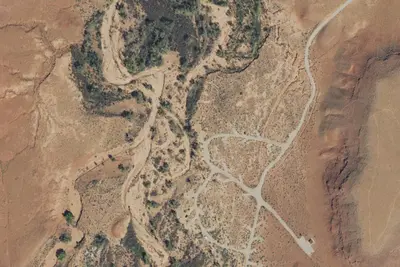
Creek Pasture Campground
Public Land · 0.3 mi · Blanding
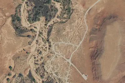
Camp site
Campground · 1.7 mi · Monticello
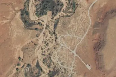
Camp site
Campground · 1.7 mi · Monticello
3 more within 25 mi
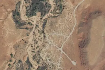
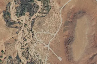
6 OpenStreetMap entries in Blanding share one park. They may be individual sites of a single campground. Suggest a merge
Dispersed camping nearby
Free dispersed camping within 19 mi, on public land.
- 2.4 mi
Camp site
Blanding, UT · On Bureau of Land Management land · Monticello Field Office
- 2.5 mi
Camp site
Blanding, UT · On Bureau of Land Management land · Monticello Field Office
- 2.5 mi
Camp site
Blanding, UT · On Bureau of Land Management land · Monticello Field Office
- 5.9 mi
Bridger Jack Designated Campsite
Blanding, UT · On Bureau of Land Management land · Monticello Field Office
- 5.9 mi
Bridger Jack Designated Campsite #14
Blanding, UT · On Bureau of Land Management land · Monticello Field Office
- 6.1 mi
Bridger Jack Designated Campsite
Blanding, UT · On Bureau of Land Management land · Monticello Field Office
Location and contact
Data from BLM National Recreation Sites & Facilities, OpenStreetMap, Recreation Information Database (RIDB) / Recreation.gov, Recreation.gov — campground rate cards
Something wrong here? Suggest an edit
Run this campground? Claim the listing