Cranberry Campground
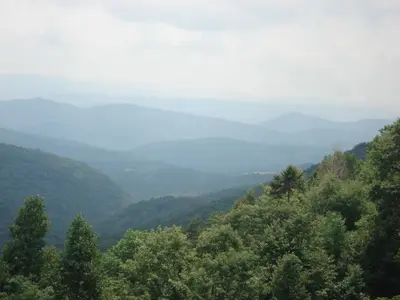
Richwood, West Virginia · 2,516 ft · In Monongahela National Forest
Valerius Tygart · CC BY-SA 3.0 · source
At a glance
3 of 8 facts known · Forest Service data, checked Oct 3, 2026
- Elevation
- 2,516 ft (767 m)2,516 ft767 m
- Land
- Monongahela National Forest
U.S. Forest Service
Amenities
You could be the first camper hereYou could be the first camper on this page
Stayed here? Share what the next camper should know.
Free account · no email needed to browse
About
A popular semi-primitive campground adjacent to the Cranberry River and the "lower-gate" entrance to the Cranberry Backcountry. This campground receives very high use during trout stocking from the beginning of spring through the end of June and again in the fall from September through October. During these high use times there are usually more campers waiting than there are sites available. During high use, the centrally located Bishop Knob Campground can usually accommodate campers when no sites are available along the Cranberry or Williams River Corridors.
Located on Forest Road 76, 13.5 miles from Richwood, West Virginia, and 7 miles from Dyer, West Virginia.
From OpenStreetMap, Recreation.gov, USDA Forest Service — Recreation Opportunities, and USFS INFRA Recreation Sites · Edit
Cell service
Report signalFCC map: no coverage reported
- VerizonNo coverage on FCC map
- AT&TNo coverage on FCC map
- T-MobileNo coverage on FCC map
Cell service at Cranberry Campground: FCC map Dec 2025
Weather
National Weather Service
- WedSunny, 10% chance of rain74°63°
- ThuRain Showers, 90% chance of rain69°62°
- FriRain Showers, 95% chance of rain64°35°
- SatChance Rain Showers then Partly Sunny, 28% chance of rain45°31°
- SunSunny58°40°
Nearby camping
SeeSee all on the map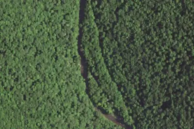
Poplar Branch Shelter
Public Land · 1.9 mi · Richwood
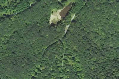
Bishop Knob Campground
Public Land · 2.7 mi · Cowen
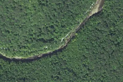
Cranberry River Sites
Public Land · 4.5 mi · Richwood
3 more within 25 mi
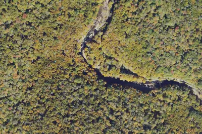
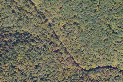
4 OpenStreetMap entries in Richwood share one park. They may be individual sites of a single campground. Suggest a merge
Dispersed camping nearby
Free dispersed camping within 19 mi, on public land.
- 5.3 mi
Camp site
Parcoal, WV · On U.S. Forest Service land · Monongahela National Forest
- 5.7 mi
Camp site
Parcoal, WV · On U.S. Forest Service land · Monongahela National Forest
- 5.8 mi
Camp site
Richwood, WV · On U.S. Forest Service land · Monongahela National Forest
- 5.9 mi
Camp site
Parcoal, WV · On U.S. Forest Service land · Monongahela National Forest
- 6.2 mi
Camp site
Parcoal, WV · On U.S. Forest Service land · Monongahela National Forest
- 6.5 mi
Camp site
Parcoal, WV · On U.S. Forest Service land · Monongahela National Forest
Location and contact
Data from OpenStreetMap, Recreation Information Database (RIDB) / Recreation.gov, USDA Forest Service — Recreation Opportunities, USFS INFRA Recreation Sites
Something wrong here? Suggest an edit
Run this campground? Claim the listing