Cottonwood Patch Campground
Conasauga, Georgia · 965 ft · In Chattahoochee-Oconee National Forest
Photos: U.S. Forest Service
At a glance
5 of 8 facts known · recreation.gov, checked Sep 24, 2026
- Elevation
- 965 ft (294 m)965 ft294 m
Sites8
Cottonwood Patch Campground lists no loops, so its sites are listed here. Pick a site to see its details.
From recreation.gov's site list, Oct 10, 2026.
Amenities
From Recreation.gov, Recreation.gov — campground rate cards, USDA Forest Service — Recreation Opportunities, USFS INFRA Recreation Sites · Correct
- Campfires allowed
From Recreation.gov, Recreation.gov — campground rate cards, USDA Forest Service — Recreation Opportunities, USFS INFRA Recreation Sites
You could be the first camper hereYou could be the first camper on this page
Stayed here? Share what the next camper should know.
Free account · no email needed to browse
About
Overview
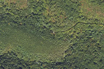
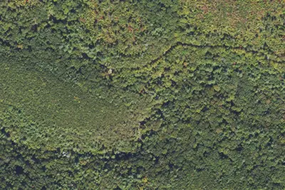
Cottonwood Patch Campground is a multi-use campground focused primarily on equestrian camping, but welcomes traditional "car" camping. The campground is located within the Chattahoochee-Oconee National Forest in the Alaculsy Valley of the Cohutta Mountains in north Georgia. Cottonwood Patch Campground is a quaint campground found along the Conasauga River, just above its junction with the Jacks River. Mixed hardwood forest surrounds the campground. The campground is partially shaded most of the summer with planted cottonwoods and sawtooth oaks. Average daytime summer temperatures are in the mid-80s with average daytime winter temperatures in the 50s.
In the late 1800s into the 1930s, Alaculsy Valley was a thriving community. The valley contained homes, farms, a church, a post office, a grist mill, a school, cemeteries, and possibly a furnace for smelting iron. Across the Jacks River, in Tennessee, were other similar communities, a Civilian Conservation Corps work camp, and the location of the original U.S. Forest Service facility that managed the area. Some of the most development in the area was during the logging boom of the early 1900s. This area was the main hub for logging operations in the Cohutta Mountains. Train tracks followed the Conasauga and Jacks Rivers deep into the mountains. Lumbermen in logging camps far back in the mountains would cut timber and have it loaded onto flat cars. These loaded railroad cars would be pulled by the powerful Shay locomotives owned by the Conasauga River Lumber Company to its mill in Conasauga, Tennessee. Once an area was logged, the camp buildings would be loaded up onto the flat cars by small steam cranes and unloaded at the next area prepared for a camp. The Conasauga Trail in Tennessee follows the old railroad bed downstream and the Jacks River Trail in Georgia follows the old railroad bed upstream into the Cohutta Wilderness.
From Recreation.gov, Recreation.gov — campground rate cards, USDA Forest Service — Recreation Opportunities, and USFS INFRA Recreation Sites · · Edit
Cell service
Report signalFCC map: no coverage reported
- VerizonNo coverage on FCC map
- AT&TNo coverage on FCC map
- T-MobileNo coverage on FCC map
Cell service at Cottonwood Patch Campground: FCC map Dec 2025
Weather
National Weather Service
- WedPatchy Fog then Sunny86°65°
- ThuSunny, 2% chance of rain86°64°
- FriSunny, 3% chance of rain81°45°
- SatSunny, 1% chance of rain63°41°
- SunSunny68°45°
Nearby camping
SeeSee all on the map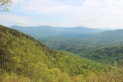
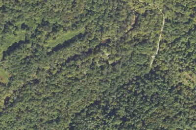
Cottonwood Patch Campground
Public Land · under 100 ft · Conasauga
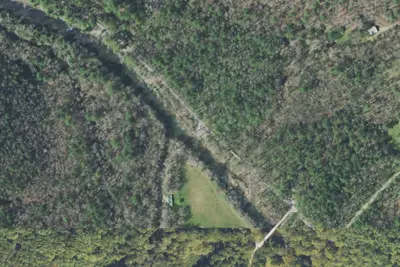
Camp site
Campground · 320 ft · Conasauga
Conasauga River Campground
Public Land · 0.7 mi · Conasauga
3 more within 25 mi
Dispersed camping nearby
Free dispersed camping within 19 mi, on public land.
- 6.3 mi
Hickey Gap Forest Service Camping Area
Eton, GA · On State agency land · Cohutta Wildlife Management Area
- 8.8 mi
Ball Field Dispersed Camping Area
Eton, GA · On State agency land · Cohutta Wildlife Management Area
- 12 mi
Bear Creek Campground
Ellijay, GA · On State agency land · Cohutta Wildlife Management Area
Location and contact
Data from Recreation Information Database (RIDB) / Recreation.gov, Recreation.gov — campground rate cards, USDA Forest Service — Recreation Opportunities, USFS INFRA Recreation Sites
Something wrong here? Suggest an edit
Run this campground? Claim the listing