Cottonwood Lake Campground
Smoot, Wyoming · 7,474 ft
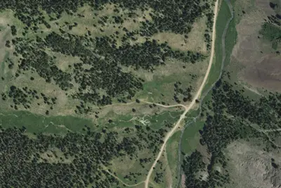
Aerial view · USGS / USDA NAIP · Public domain · source
At a glance
3 of 8 facts known · Forest Service data, checked Oct 3, 2026
- Elevation
- 7,474 ft (2,278 m)7,474 ft2,278 m
- Land
- Bridger National Forest
U.S. Forest Service
Amenities
You could be the first camper hereYou could be the first camper on this page
Stayed here? Share what the next camper should know.
Free account · no email needed to browse
About
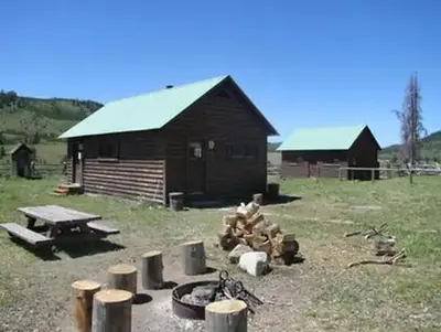
The Cottonwood Lake Campground is located next to Cottonwood Lake in the Salt River Mountains at an elevation of 7,000 feet, approximately 13 miles southeast of Afton, Wyoming. North Fork Creek runs near this site where pines and aspens offer partial shade. The lake offers great boating for smaller craft (there is no ramp available) and fishing for brook and cutthroat trout. Trails for hiking, biking, horseback riding, and ATVs begin within the site. This campground offers 18 campsites total. On the west loop, 6 sites have hitching rails for horses, and three small pipe-rail horse corrals are provided. Water must be carried to corrals. On the east loop, ATVs are allowed because a trail allowing motorized use takes off from the back of the loop, and 3 walk-in sites are also available for tent campers. Except for site 13, these sites are all single-family campsites which are available on a first come, first served basis. Site 13 is a reservable group tenting site--see recreation.gov. Potable water is available in the east loop, as well as vault toilets.
Fees: Overnight Use:
From OpenStreetMap, USDA Forest Service — Recreation Opportunities, and USFS INFRA Recreation Sites · · Edit
Cell service
Report signalFCC map: no coverage reported
- VerizonNo coverage on FCC map
- AT&TNo coverage on FCC map
- T-MobileNo coverage on FCC map
Cell service at Cottonwood Lake Campground: FCC map Dec 2025
Weather
National Weather Service
- WedPartly Sunny, 7% chance of rain39°26°
- ThuSunny50°25°
- FriSunny54°31°
- SatSunny54°32°
- SunSunny53°33°
Nearby camping
SeeSee all on the map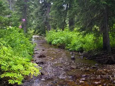
Cottonwood Group Campsite
Public Land · 0.2 mi · Smoot
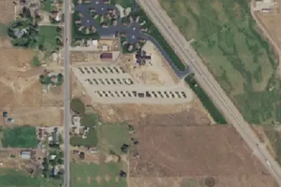
RV park
RV Park · 6.7 mi · Afton
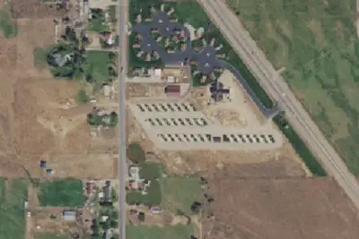
Kodiak Mountain Resort RV Park U.S.
RV Park · 6.8 mi · Afton
3 more within 25 mi
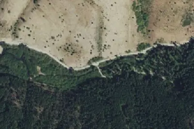
3 OpenStreetMap entries in Smoot share one park. They may be individual sites of a single campground. Suggest a merge
Dispersed camping nearby
Free dispersed camping within 19 mi, on public land.
Location and contact
Data from OpenStreetMap, USDA Forest Service — Recreation Opportunities, USFS INFRA Recreation Sites
Something wrong here? Suggest an edit
Run this campground? Claim the listing