Cottonwood Creek Campground
Lovell, Wyoming · 4,790 ft
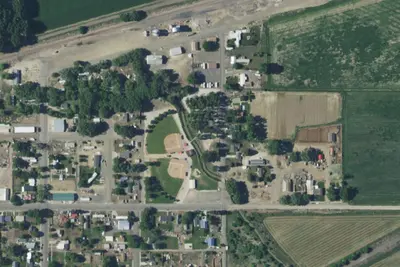
Aerial view · USGS / USDA NAIP · Public domain · source
Wildfire 37 mi E: Border, 100 acres
At a glance
2 of 8 facts known · from OpenStreetMap and USGS
- Elevation
- 4,790 ft (1,460 m)4,790 ft1,460 m
- Land
- Cody Field Office
Bureau of Land Management
Amenities
You could be the first camper hereYou could be the first camper on this page
Stayed here? Share what the next camper should know.
Free account · no email needed to browse
About
The Cottonwood Creek Campground and Day-Use site are located near the Cottonwood Creek Trailhead. The campground features an interpretive kiosk, five campsites with fire rings, picnic tables toilet facility, four horse corrals, a horse watering trough and food storage boxes.
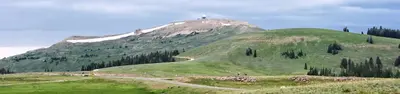
The highly scenic trail is suitable for hiking and horseback riding (advanced riders). Cottonwood Canyon has steep, vertical cliffs. The elevation at the mouth of the canyon is 4,800 feet with the top of the canyon wall at 7,200 feet. At the upper end of the trail, the elevation at the creek is 7,000 feet and the top of the canyon wall is 7,900 feet.
From BLM National Recreation Sites & Facilities and Recreation.gov · Edit
Cell service
Report signal- Verizon5G · 4G LTE
- AT&T5G · 4G LTE
- T-Mobile5G · 4G LTE
Cell service at Cottonwood Creek Campground: FCC map Dec 2025
Weather
National Weather Service
- WedMostly Cloudy, 5% chance of rain52°38°
- ThuSunny49°36°
- FriSunny61°47°
- SatSunny65°46°
- SunSunny63°47°
Nearby camping
SeeSee all on the map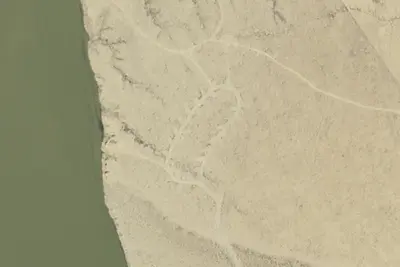
Camp site
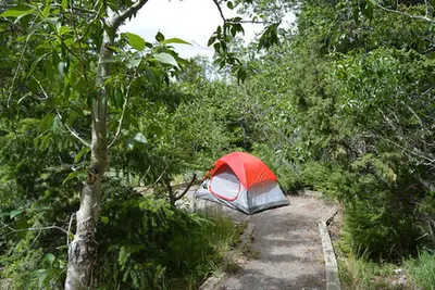
Campground · 5.1 mi · Lovell
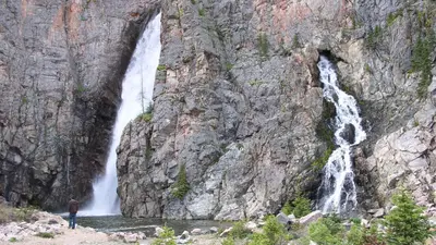
Five Springs Falls Campground
Public Land · 6.7 mi · Central Big Horn
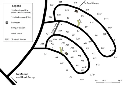
Porcupine Campground (Wy)
Public Land · 11 mi · North Big Horn
3 more within 25 mi
Location and contact
Data from BLM National Recreation Sites & Facilities, Recreation Information Database (RIDB) / Recreation.gov
Something wrong here? Suggest an edit
Run this campground? Claim the listing